Manila Floods
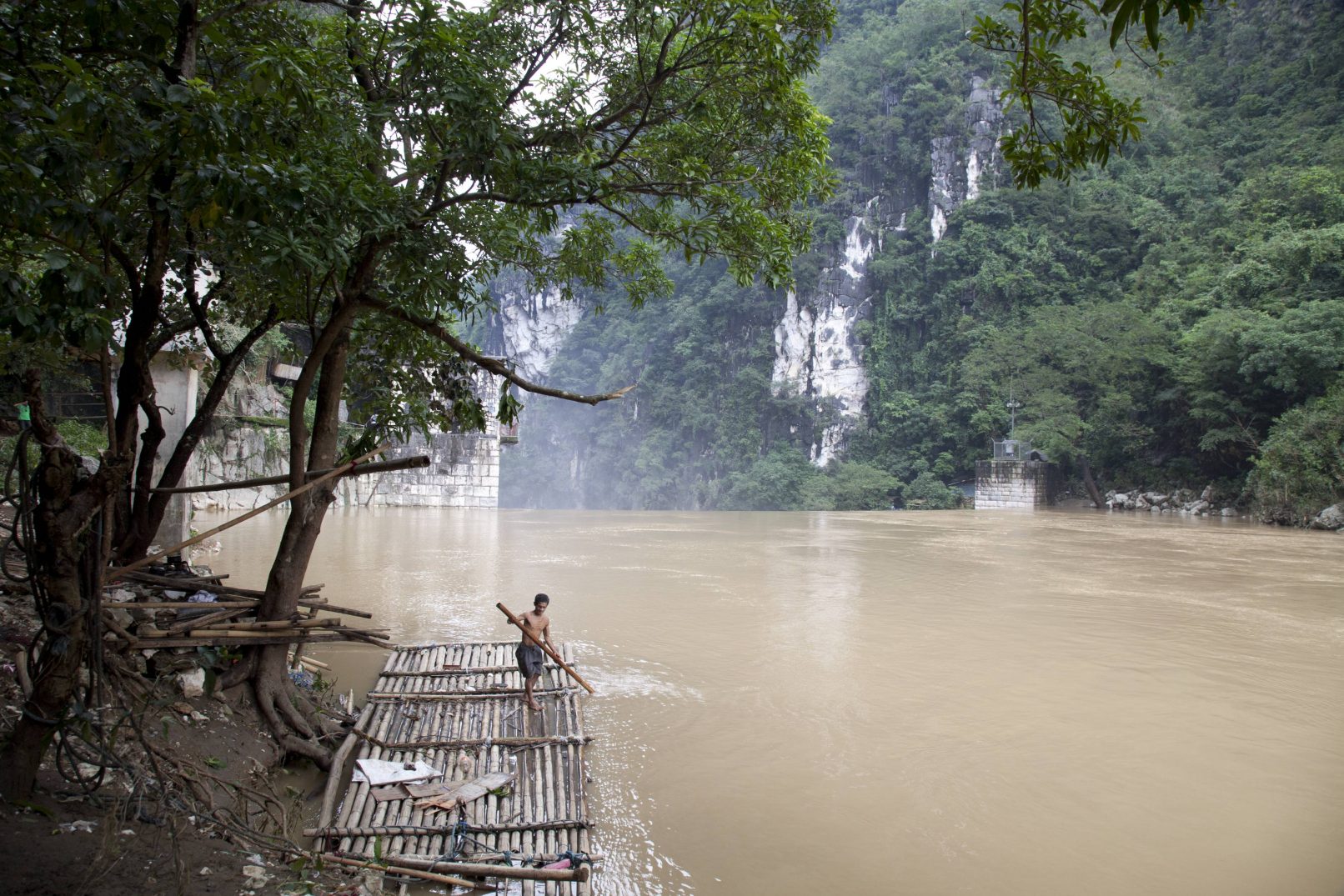
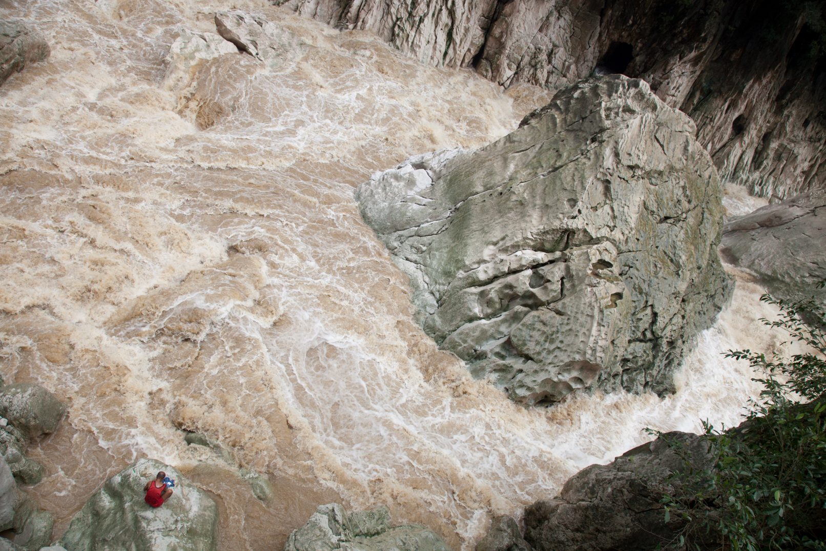
Metro Manila. The small mountain village of Wawa lies around 50km from the source of the Marikina River in the Sierra Madre Mountains and next to the American built Wawa dam. This elevated area receives a lot of rainfall and is one of the first communities to notice the rising river.
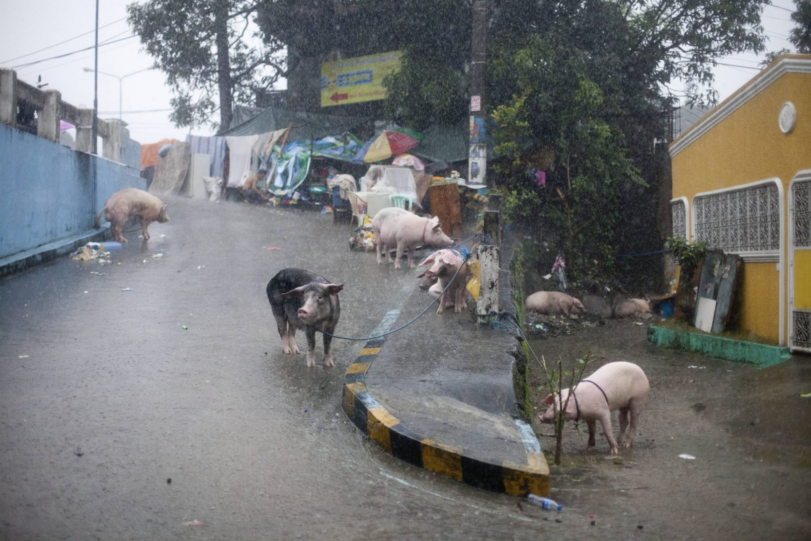
Metro Manila. Banaba, San Mateo. Home to more than 20,000 informal settlers, Banaba is bound by two major rivers and situated next to a fault line, making it one of the most dangerous stretches on the river. The very poorest of its residents live in makeshift structures under the bridge.
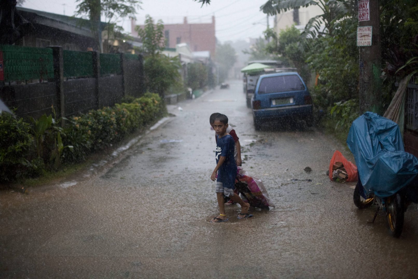
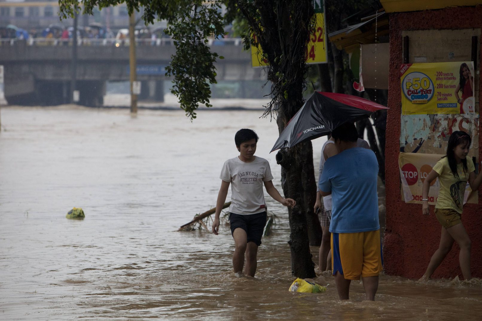
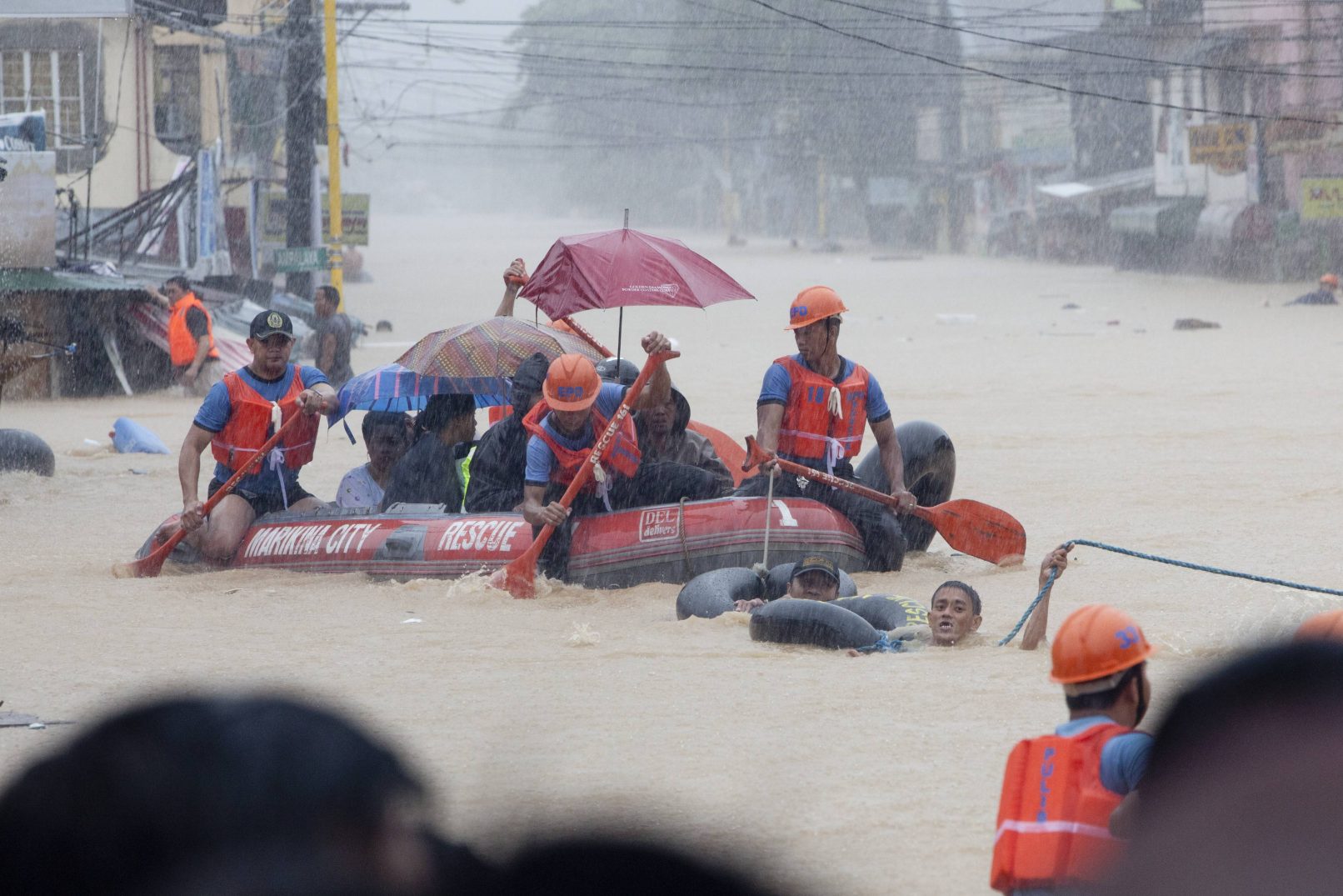
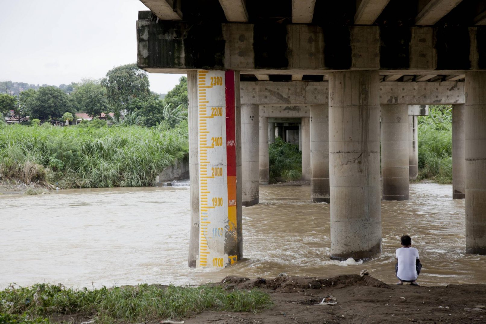
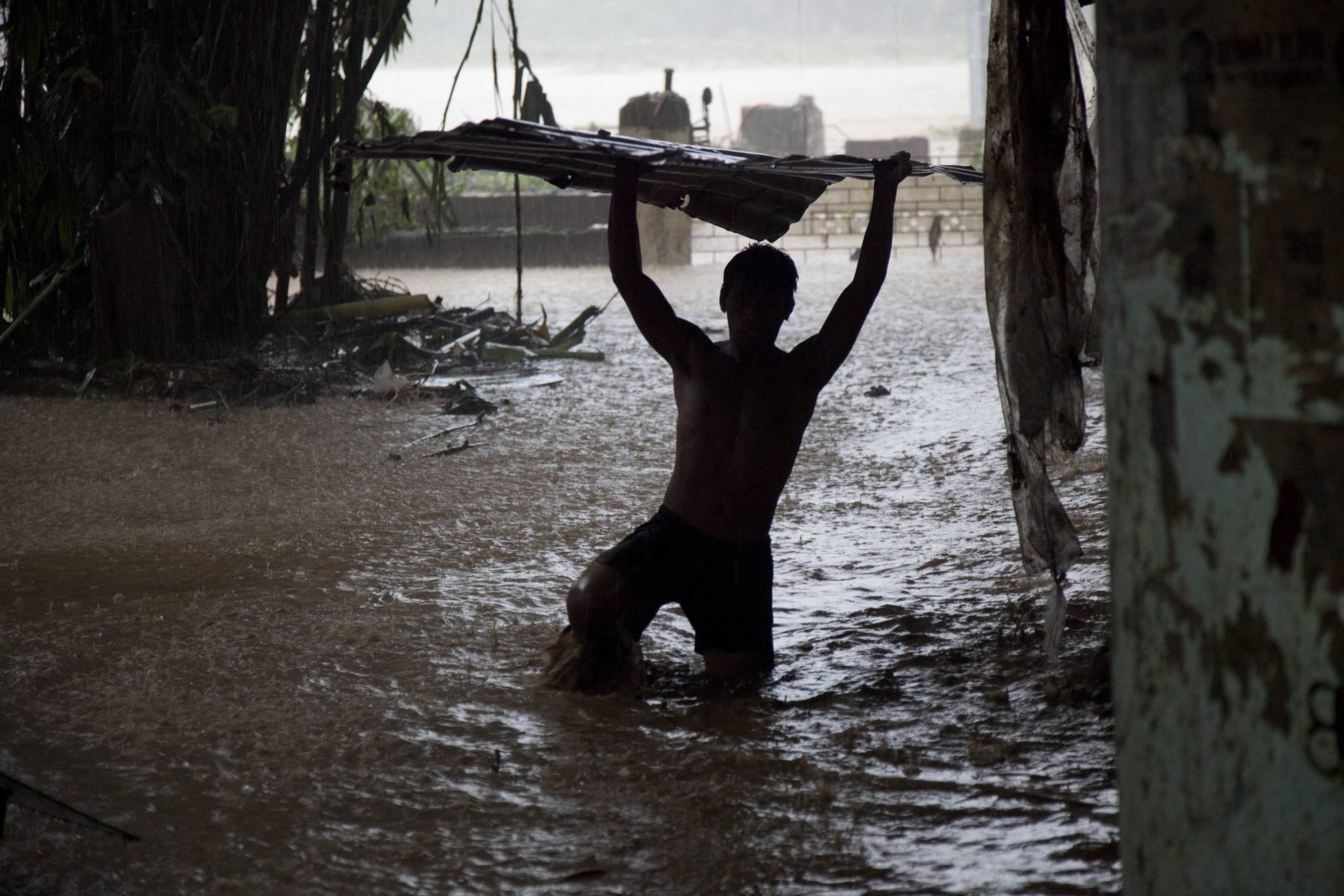
Metro Manila. With 16 cities and 20 million people, Metro Manila is one of the most crowded Metropolitan areas in the world. Sandwiched between the sea and a large lake, its surrounded by a vast and complex river system which swells dramatically throughout the monsoon and typhoon seasons. Its fragile riverbanks are home to more than three million informal settlers. Most migrated from the countryside in search of work, but unable to buy or rent a home they are forced to set up camp on the only land available to them.
Metro Manila. Banaba, San Mateo. Home to more than 20,000 informal settlers, Banaba is bound by two major rivers and situated next to a fault line, making it one of the most dangerous stretches on the river. The very poorest of its residents live in makeshift structures under the bridge.
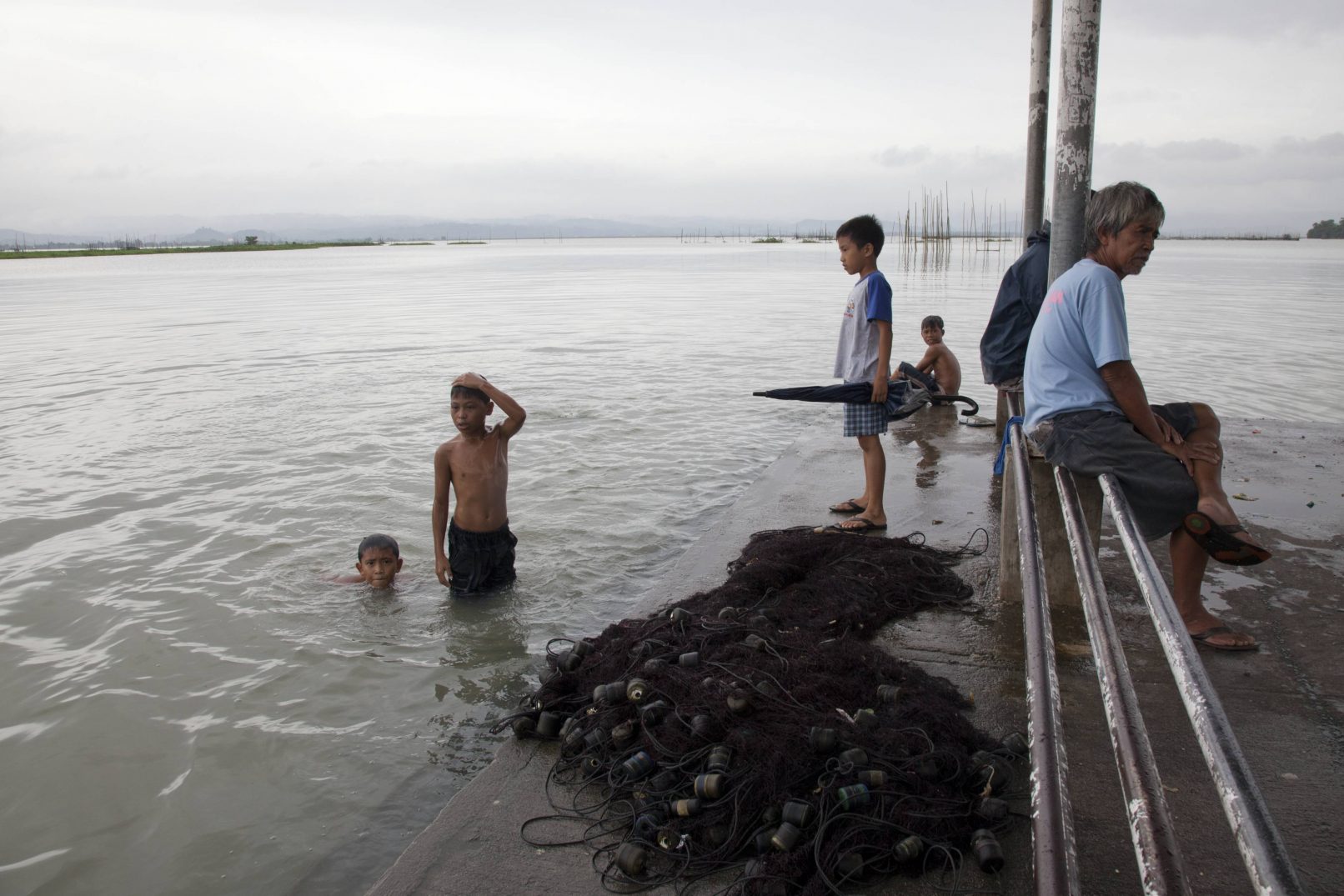
Laguna De Bay, Metro Manila. With 16 cities and 20 million people, Metro Manila is one of the most crowded Metropolitan areas in the world. Sandwiched between the sea and a large lake, its surrounded by a vast and complex river system which swells dramatically throughout the monsoon and typhoon seasons. Its fragile riverbanks are home to more than three million informal settlers. Most migrated from the countryside in search of work, but unable to buy or rent a home they are forced to set up camp on the only land available to them.