M Gonzalez-Noda
Big River Rising

Big River Rising

Scroll to begin
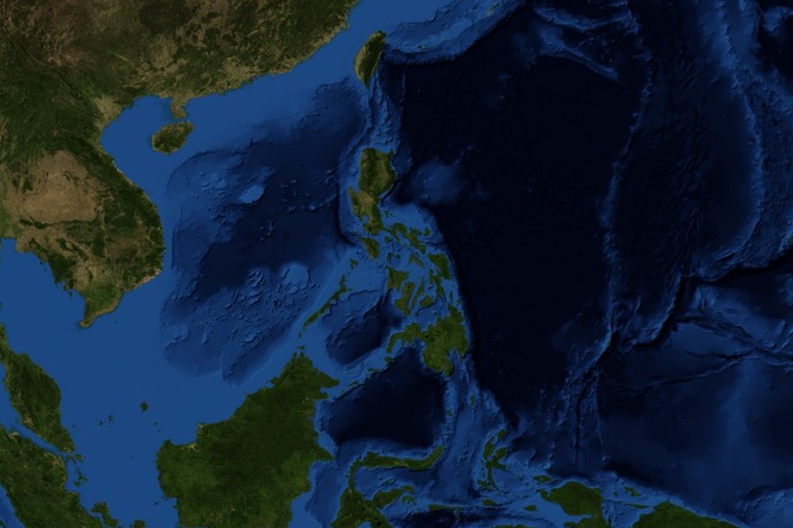
The Philippines from space

Located on the Pacific Ring of Fire, the Philippines is a country living on the edge of disaster. Earthquakes, volcanoes, typhoons and floods all threaten the safety of its 94 million citizens.
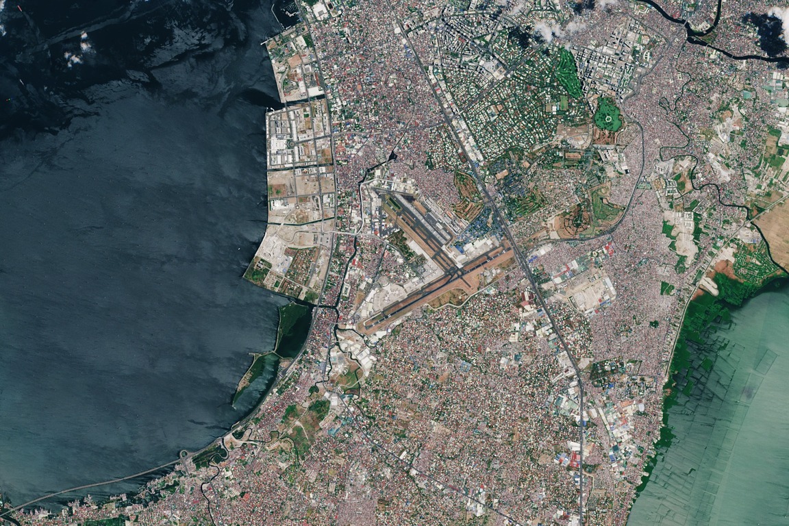
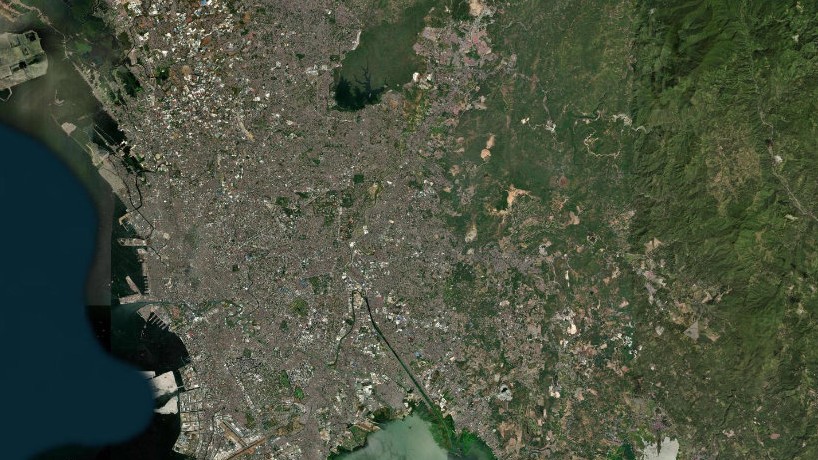
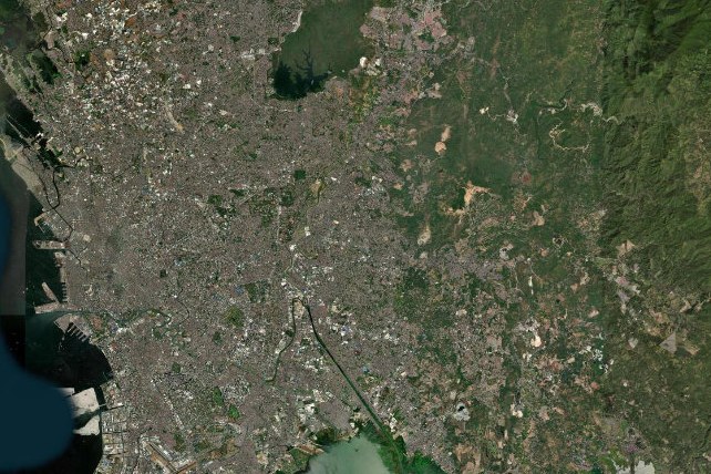
Metro Manila from space

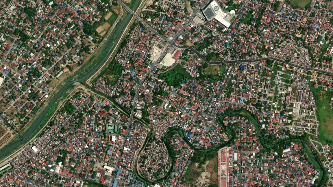
With 16 cities and 20 million people, Metro Manila is one of the most crowded metropolitan areas in the world. Sandwiched between the sea and a large lake, it is surrounded by a vast and complex river system, which swells dramatically throughout the monsoon and typhoon seasons.

Part 1

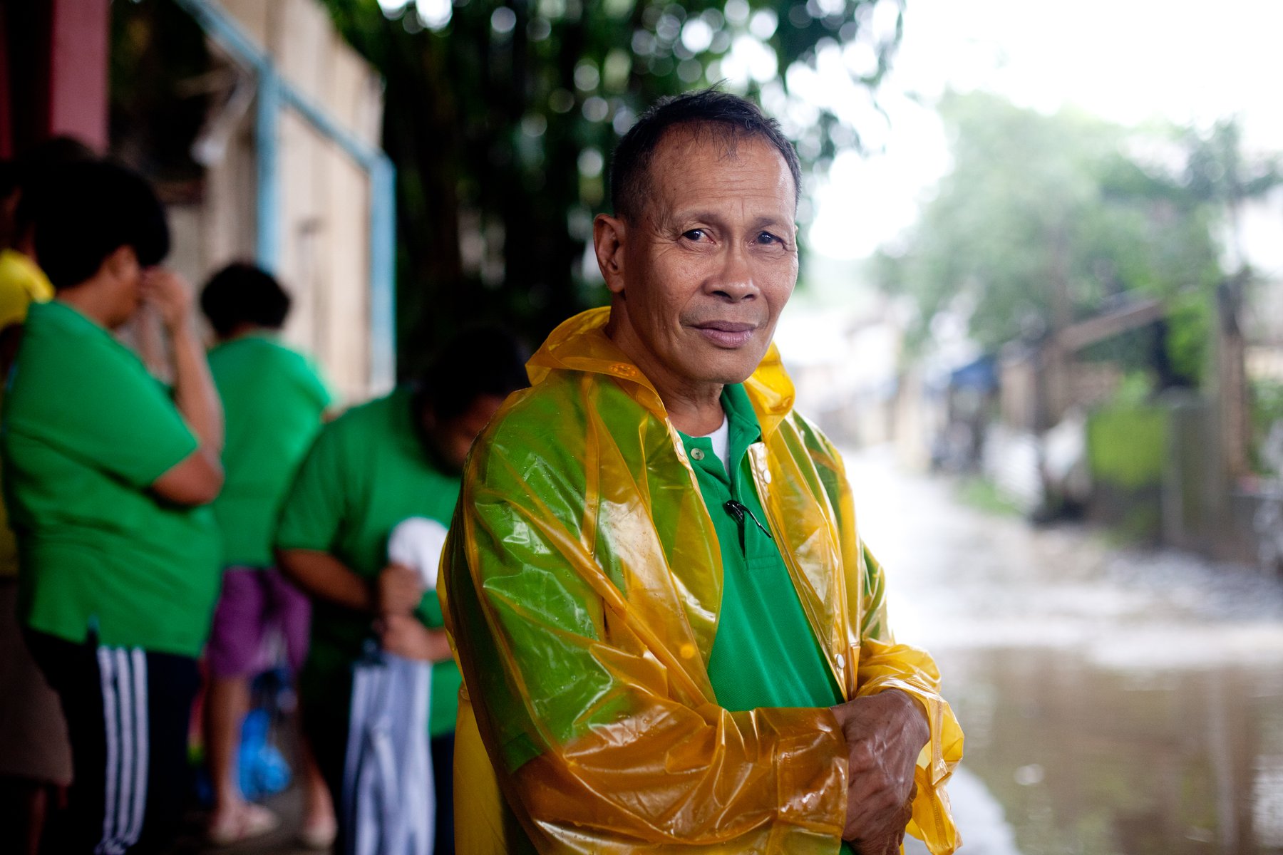
Belen de Guzman

In August 2012, extreme monsoon rainfall devastated its capital Metro Manila, forcing almost three quarters of a million people to evacuate their homes.
×
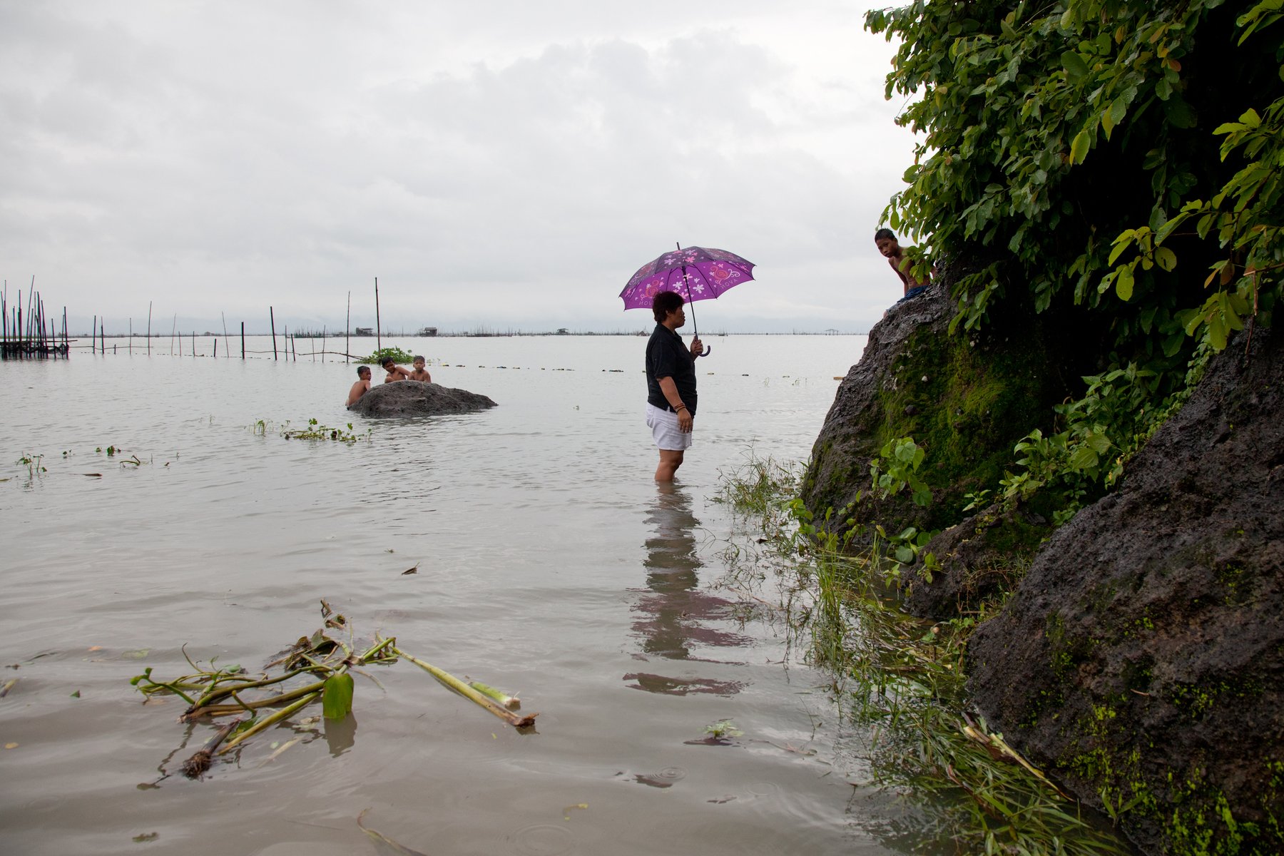
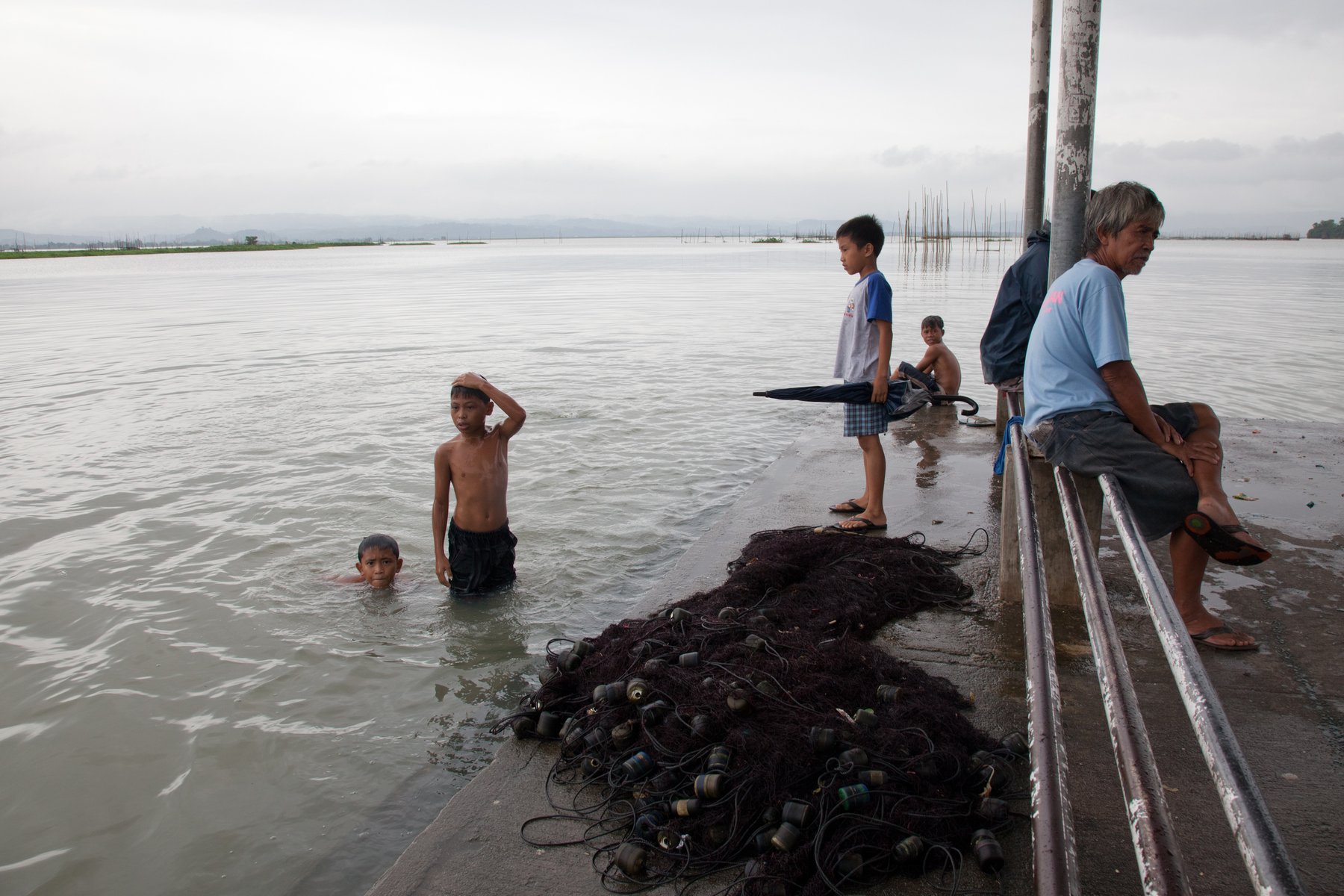
Laguna de Bay. The largest lake in the Philippines and the third largest freshwater lake in south-east Asia, with 236km of shoreline. It is close to the Marikina Valley and a drainage site for the Pasig River during the rainy season. It is also home to a large fishing community whose traditional livelihood depends on its good health. As well as excess river water, waste from industrial activities washes downstream, polluting the lake and affecting its fish stock.
×
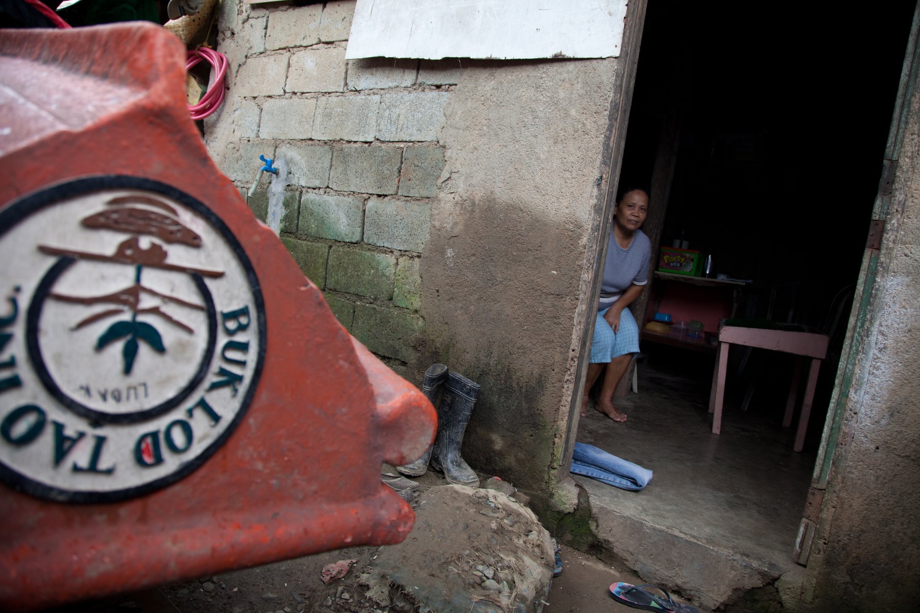
Wawa, Montalban. The small mountain village of Wawa lies around 50km from the source of the Marikina River in the Sierra Madre Mountains, next to the American-built Wawa dam. This elevated area receives a lot of rainfall and its residents are one of the first communities to notice the rising river.
×
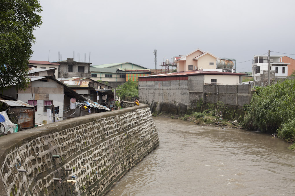
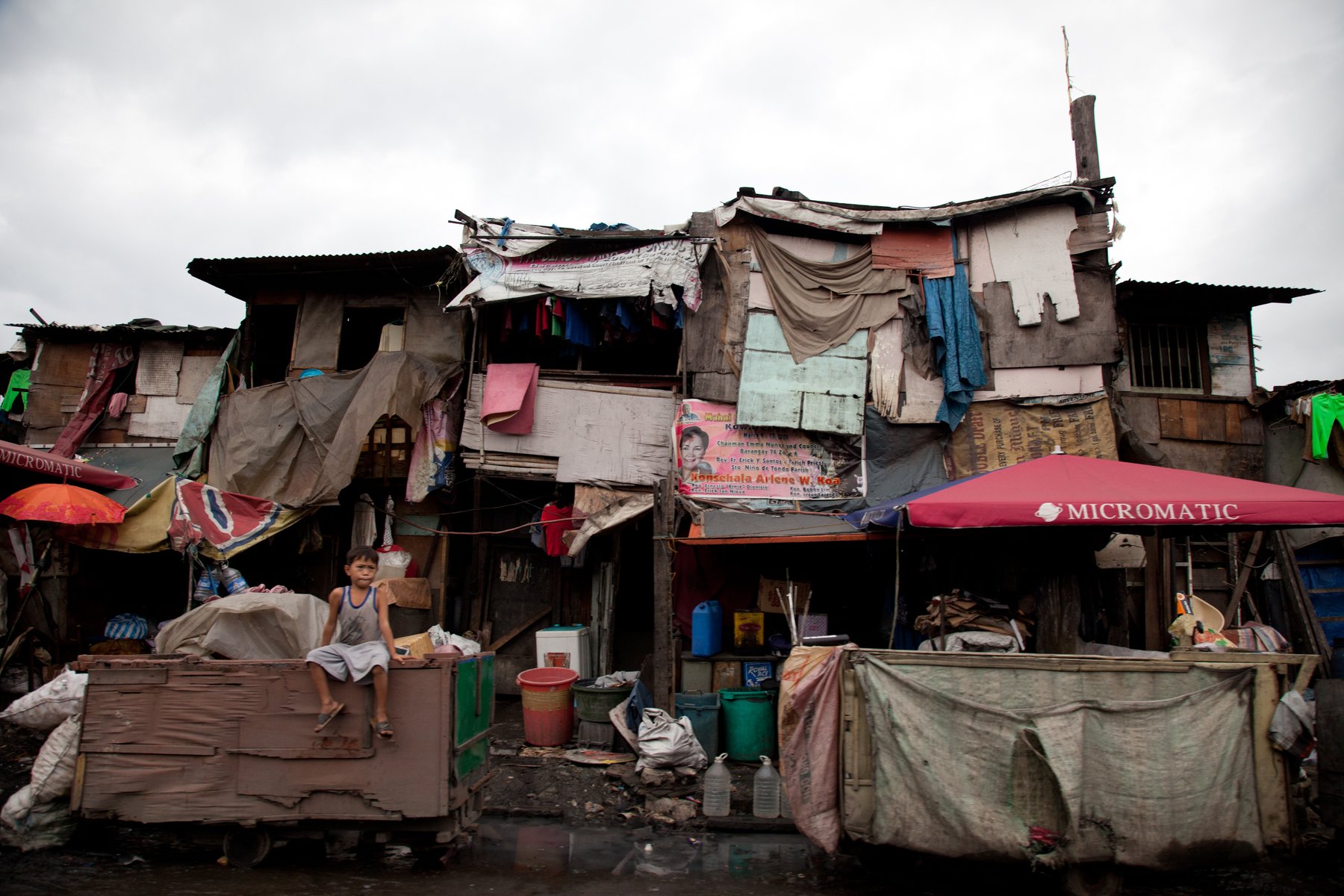
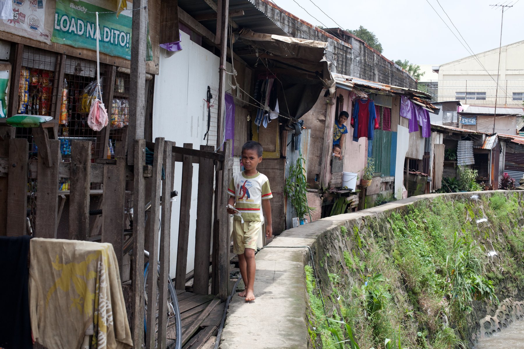
Novaliches. The residents of Novaliches have built their rickety three-storey homes on a very narrow stretch of the riverbed. A long, high concrete wall separates the informal settlers next to the river from the middle-class community inland that it protects. Rising floodwaters can trap the community between the river and the wall.
×
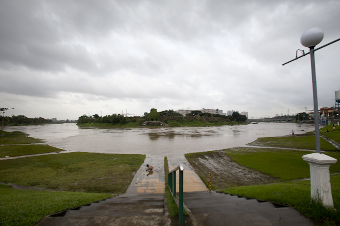
The Marikina River. From its source in the Sierra Madre Mountains, the Marikina River, which is crisscrossed by the West Valley Fault Line, flows through six of Metro Manila's 16 cities before it merges with the Pasig River and eventually the sea. Some of its waters are diverted through the artificially constructed Mangahan Floodway, leading to the freshwater lake, Laguna de Bay.
×
Sub-Urban. The community of Sub-Urban in Rizal were relocated from various informal settlements in Metro Manila deemed danger zones. Their new homes, built within yards of an active fault line and in an area prone to flooding, are not safe either. When the river rises, the community has around 30 minutes to warn downstream Banaba that flooding is due.
×
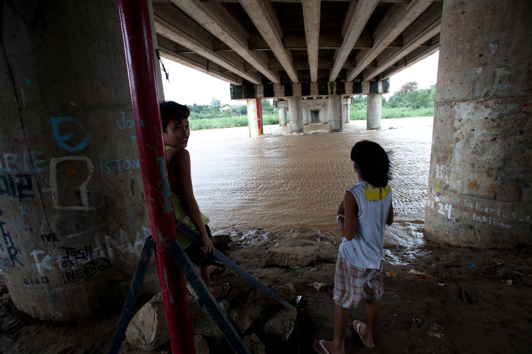
Banaba. Home of Belen de Guzman (the river monitor) and more than 20,000 informal settlers, Banaba is bound by two major rivers and situated next to a fault line, making it one of the most dangerous stretches on the river. The very poorest of Banaba's residents live in makeshift structures under the bridge.
Click a point to learn more

Its fragile riverbanks are home to more than three million informal settlers. Most migrated from the countryside in search of work, but unable to buy or rent a home, they are forced to set up camp on the only land available to them.

Part 2

Choke Points

Professor Siringan from the Marine Science Institute (MSI) was commissioned by the Manila Observatory and Christian Aid to study hazards, or “choke points,” on the Marikina River.
×
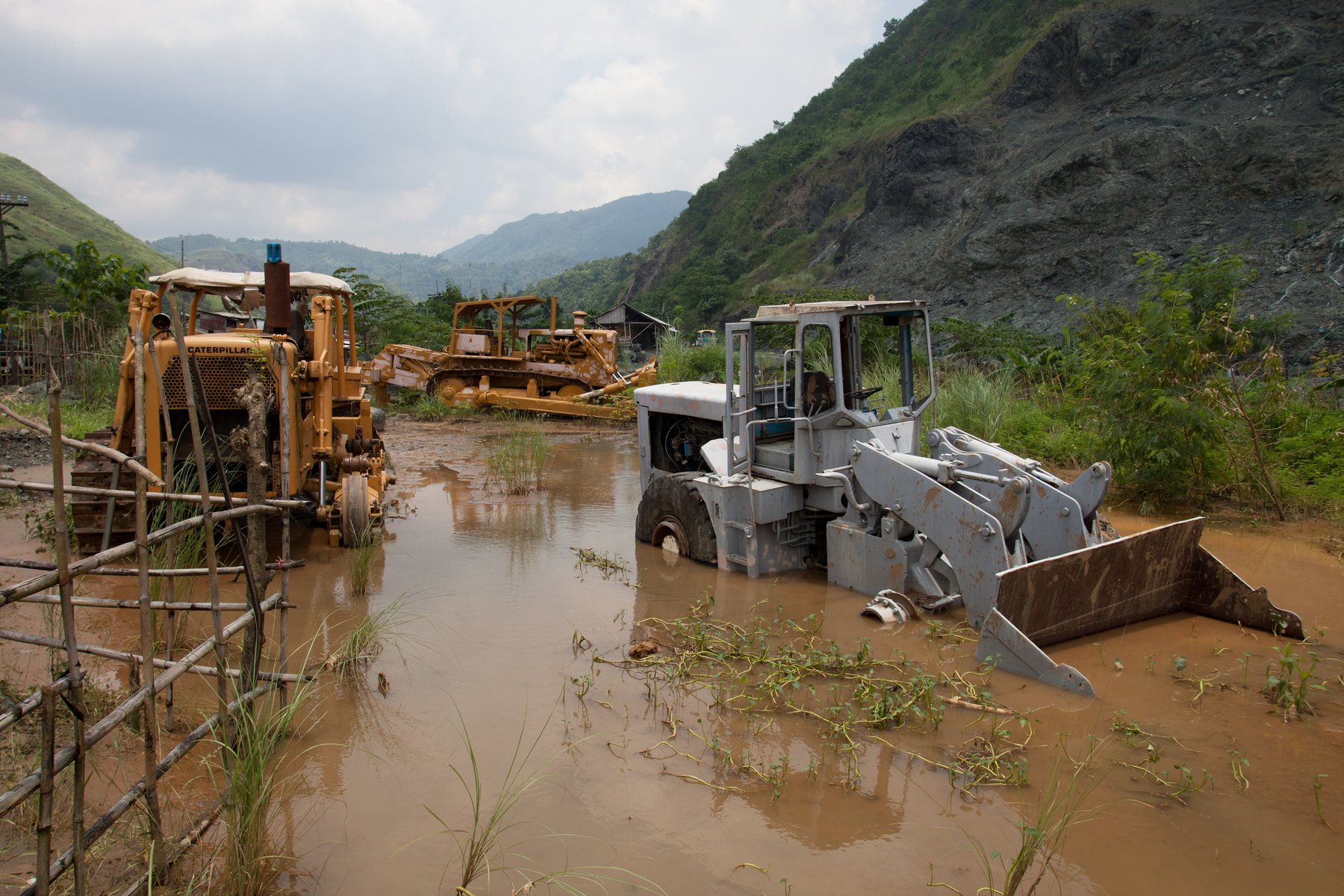
Mining and deforestation. Sediments from mining activities in the mountains are flushed downstream. Remnants build up in the channel, redefining the landscape and depth of the river. This forces waters in now-shallower areas to push out further over the floodplains. Without trees, which act like a sponge and temporarily hold rainwater in the ground, more rainwater finds its way down river and the chances of flooding become greater.
×
Low water crossings. In some parts of the river, low water crossings (roads) have been built so vehicles can pass during the dry season. But when the river swells during the rainy season, the low water crossing creates an artificial dam.
×
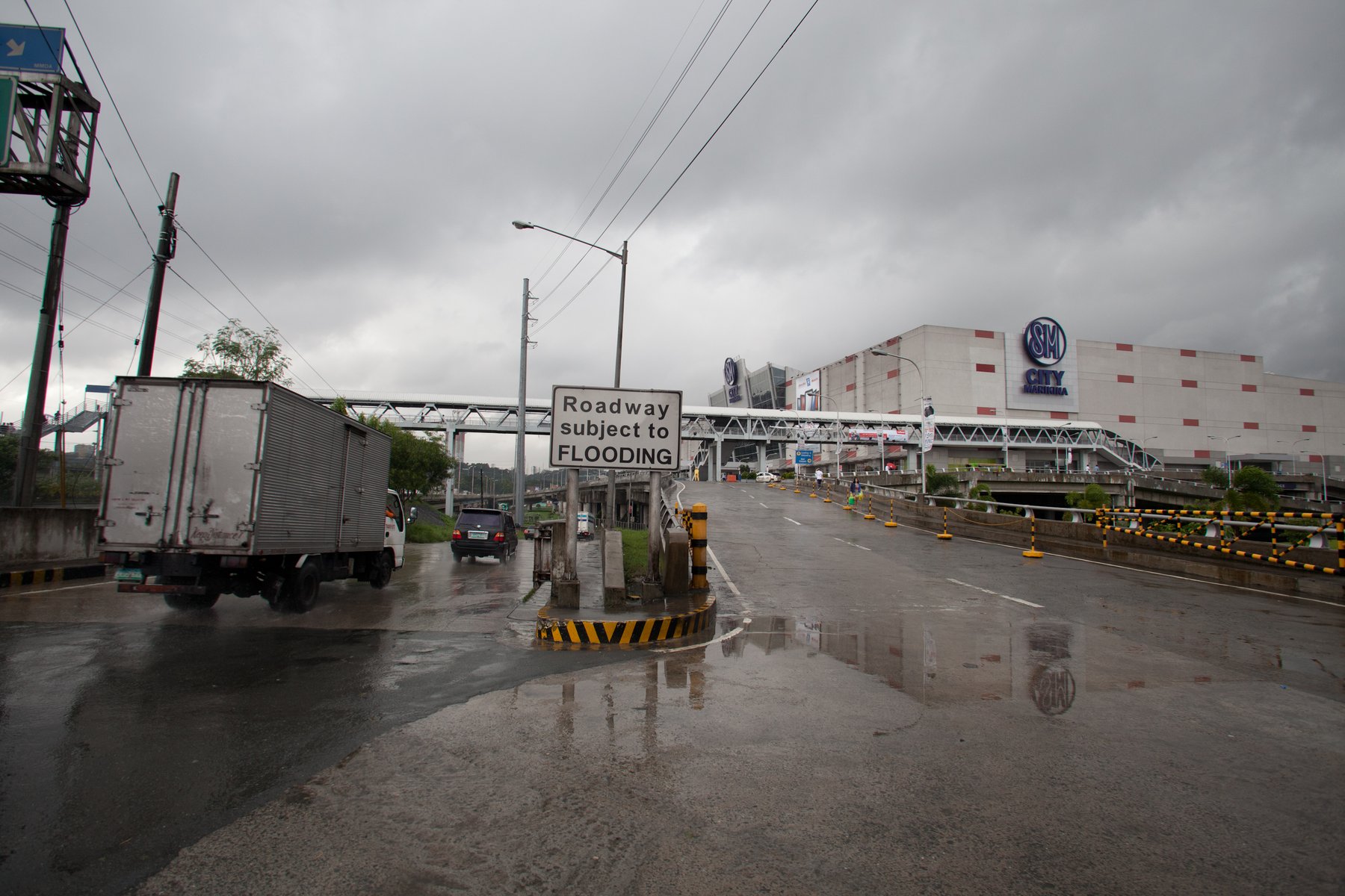
Building on the floodplain. Commercial buildings such as malls and condominiums are often built on Manila's floodplains. These concrete giants, while built to withstand regular flooding, alter the landscape and geological features of the river, affecting its natural direction and flow.
×
Walls. High walls are built along the riverbeds to protect adjacent communities from flooding. But these walls force flood waters upwards, creating a large and narrow volume of water, which can be catastrophic for another community when it finally finds an exit downstream.
×
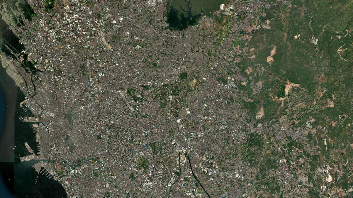
Expanding city. Fast, unplanned development is leading to an increased risk of disaster. Vast concreted surfaces, lack of vegetation, poor drainage, a growing population, and occupancy of riverbeds all contribute to the problem of flooding.
Click a point to learn more

Rapid and uncontrolled development has reshaped Metro Manila. By building on top of natural floodplains, the rivers and cities have merged. Slums, houses, factories, malls, bridges, fords and walls are all helping to divert the water's natural flow, narrowing its path. The knock-on effect for communities downstream can be devastating.

Part 3

Belen's Warning

“In a future warmer world, there is a high likelihood of more frequent heavy precipitation events and more intense tropical cyclones.” - Intergovernmental Panel on Climate Change
×
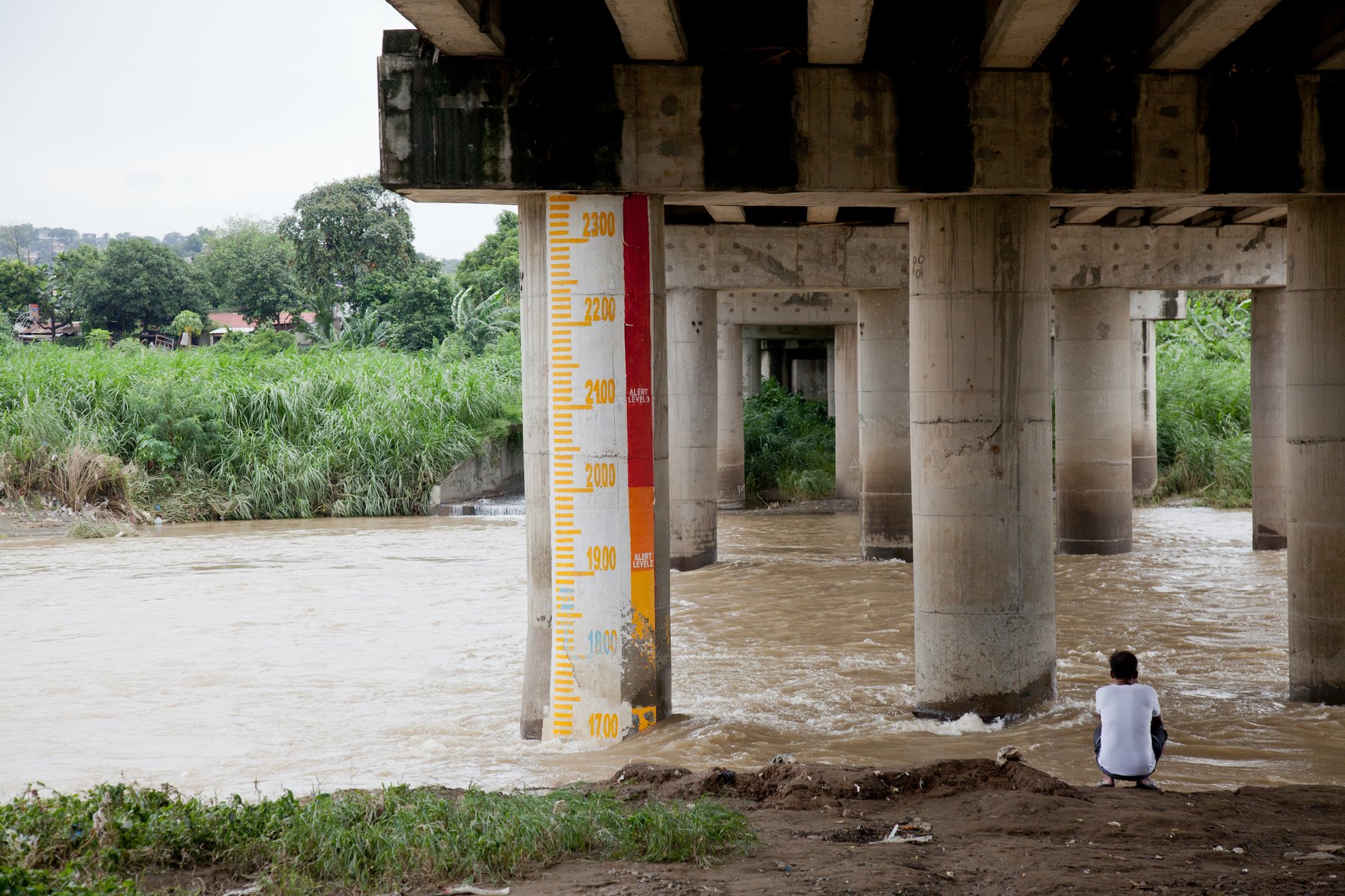
Monitoring the river. By monitoring the flood marker under the bridge - which has three critical alert levels - residents have been taught to know when to move their belongings to higher ground, when to evacuate pregnant women, children and the elderly, and when they should finally leave their homes to the rising river.
×
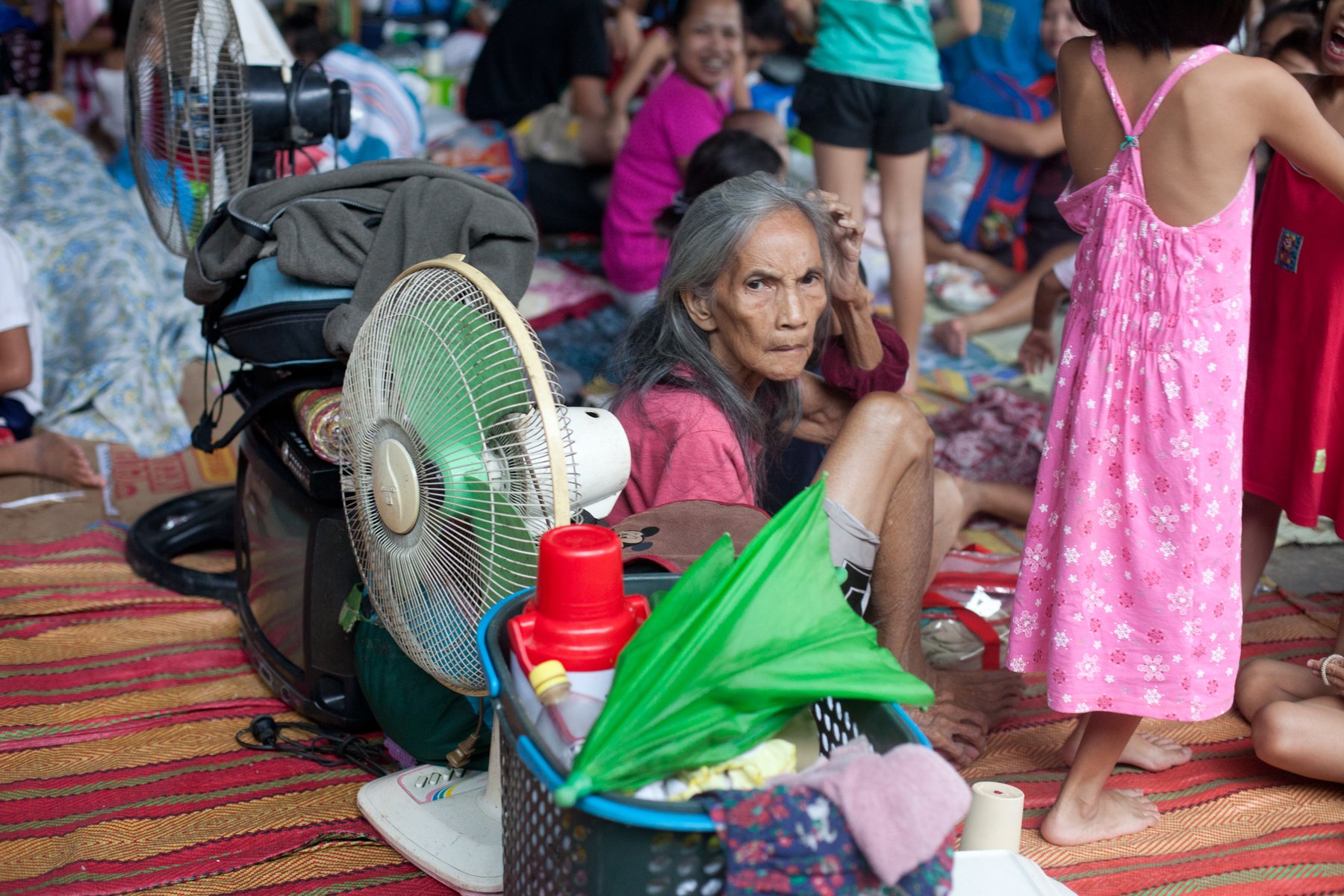
Evacuation centres. Covered basketball courts on higher ground are used as evacuation centres during a flood. Pregnant women, children, the elderly and valuable livestock are evacuated first, while others stay behind for as long as they can to guard their property or help with the search and rescue. Basic food is provided by the local government.
×
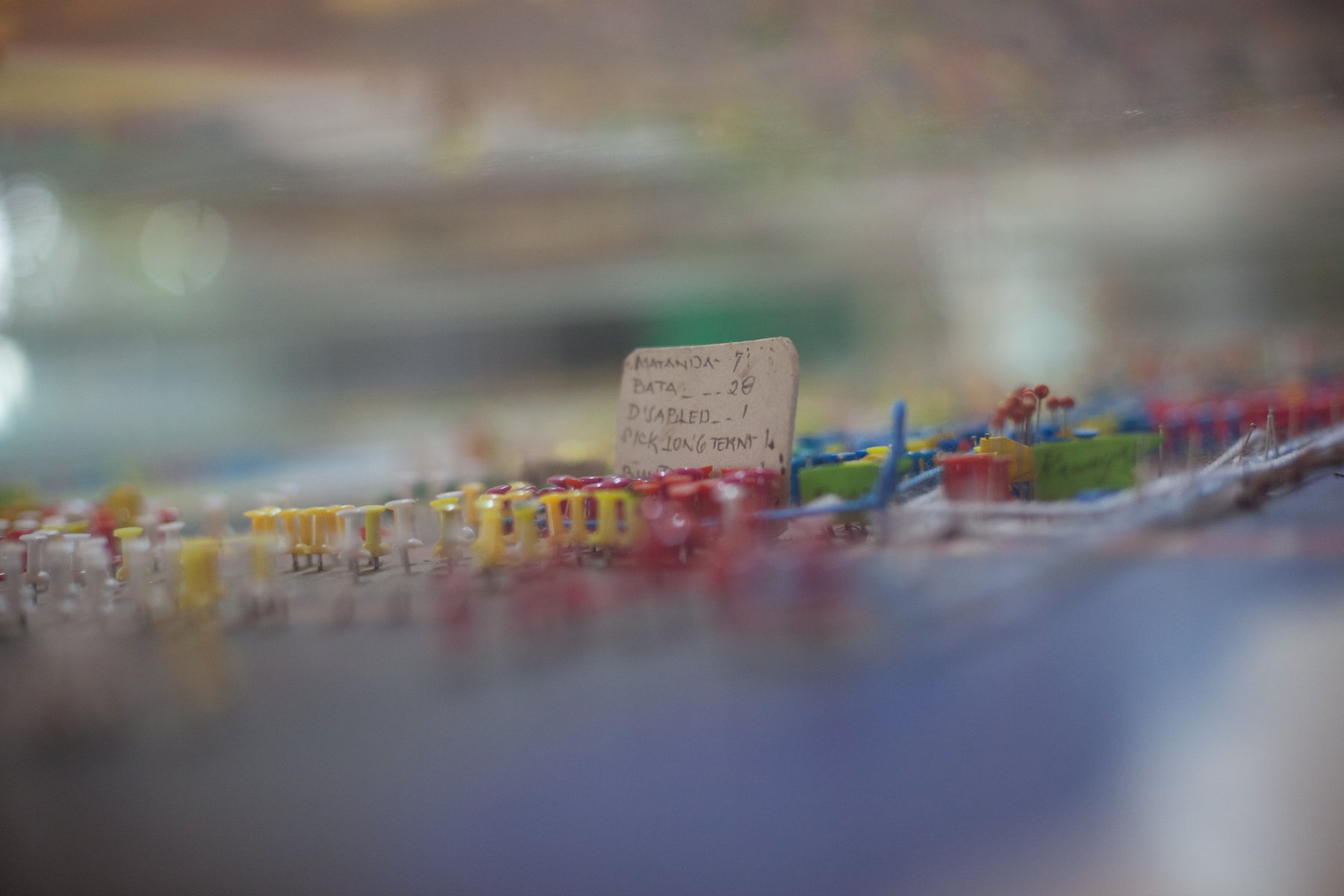
Evacuation plans. With help from UP NIGS, the residents of Banaba have accurately mapped their community and its escape routes. They have also registered residents and children, and planned how, when and where families should evacuate. This helps them feel more in control when flooding occurs.
×
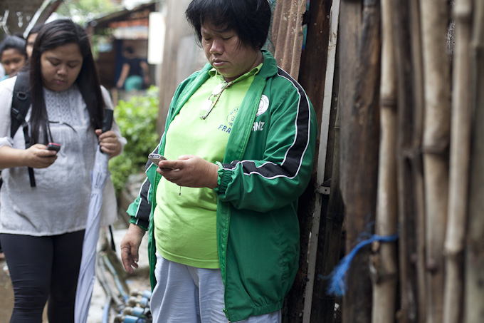
Information gathering. Manuel Abinales is a community leader in Banaba who regularly monitors the internet for rainfall and typhoon updates. When the river floods, Manuel is in regular contact with river monitor Belen de Guzman, keeping her up to date with the latest forecasts. Belen also uses text message to gather information from upstream communities who are affected by flooding first, helping her prepare her neighbours for the worst.
×
Search and rescue. Fear of looting or eviction from "borrowed" land makes many nervous to leave their homes until the last possible moment. Search and rescue teams - trained by Christian Aid's partner Centre for Disaster Preparedness - are often called upon to rescue those who get stuck while protecting their property.
Click a point to learn more

Home to Belen de Guzman and more than 20,000 informal settlers, Banaba is located on a narrow and dangerous stretch of the Marikina. It is bound by two major river systems and situated next to a fault line.

Part 4

Solutions

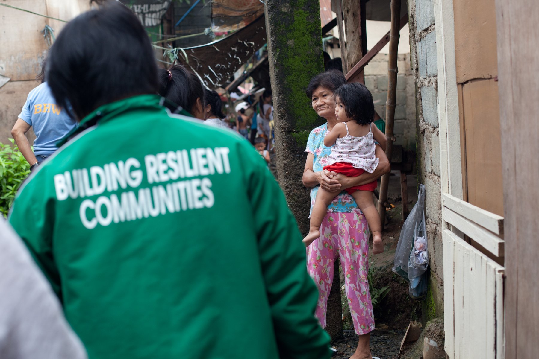
Working with Dr Carlos Primo C. David from the University of the Philippines National Institute of Geological Sciences (UP NIGS), the community here is learning to understand their geological environment, the hazards they face and their local chaotic weather systems.
×
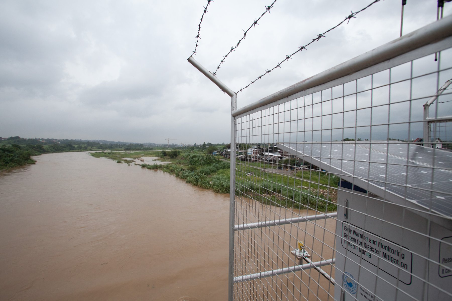
Scientific solutions. Scientists like Dr Carlos Primo C. David from UP NIGS recognise that for many communities, relocation is simply not a realistic option. He works with charities like Christian Aid - installing stream gauges, training river monitors, creating evacuation plans, and connecting up- and down-stream communities - to find practical solutions to the situation on the ground.
×
Government solutions. “There are talks that the strategy should not be about moving informal settlers out of the city, but rather looking for places within the same area, perhaps by building apartments or tenements instead of individual lots. There are communities that should be relocated, and if the government uses our work to protect the people living in communities that are really vulnerable, that would be good.” - Professor Fernando Siringan
×
River hazard solutions. “We need to work on the constrictions, try to reclaim parts of the river and widen the channel, which is more efficient than deepening the channel.…And we need to implement existing laws regarding setbacks - i.e. certain structures should not be built within a certain distance of the river.” - Professor Fernando Siringan
×
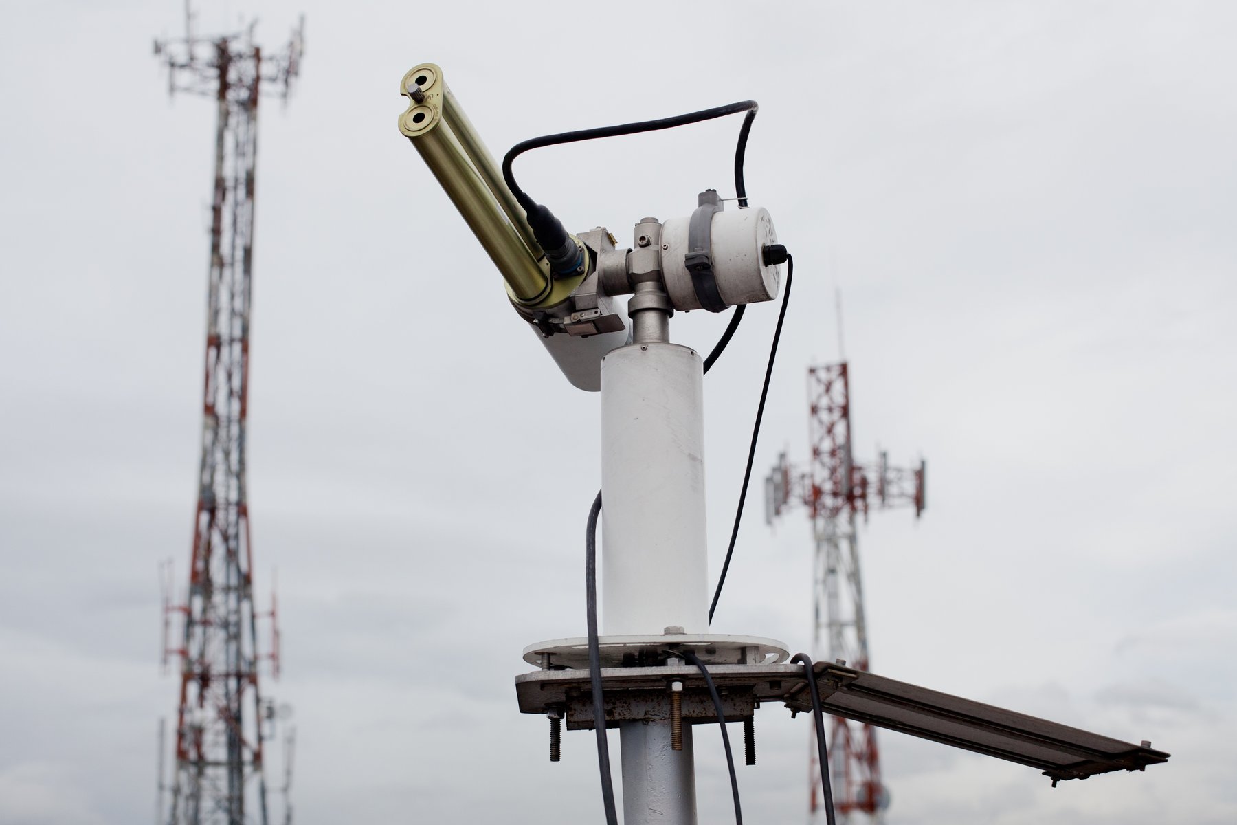
Weather forecasting solutions. “I foresee that individual community members will actually want technical information because they have already understood the science behind it and the importance of this information to their personal lives. They will start asking for a forecast of the rainfall from radar data, which provides maybe three or four hours’ lead-time…. That’s my goal.” - Dr Carlos Primo C. David
×
Communications solutions. Inspired by his work with Christian Aid, Dr Carlos Primo C. David collaborated with the Department of Science and Technology to launch Project NOAH, a simple online communication tool which, through its website, Twitter and text message, aims to provide real-time weather and flood information to Filipino citizens.
Click a point to learn more

More than three million informal settlers occupy the riverbanks of Metro Manila's vast and complex river systems. While the government recognises their need for a safe place to live, land is very limited. Current relocation strategies often require informal settlers to move back to the countryside, usually to places without employment or basic services such as schools and medical care. Many will eventually return to the city and the river, where they can make a living, feed their family and send their children to school.

Part 5

The Emergency

“The reason the world is in a mess is because we have lost awareness of our true identity. We delude ourselves that we are totally separate from each other. In truth, we are all interconnected. What happens to you happens to me.” - Fr Nonong Pili, Socio Pastoral Institute
×
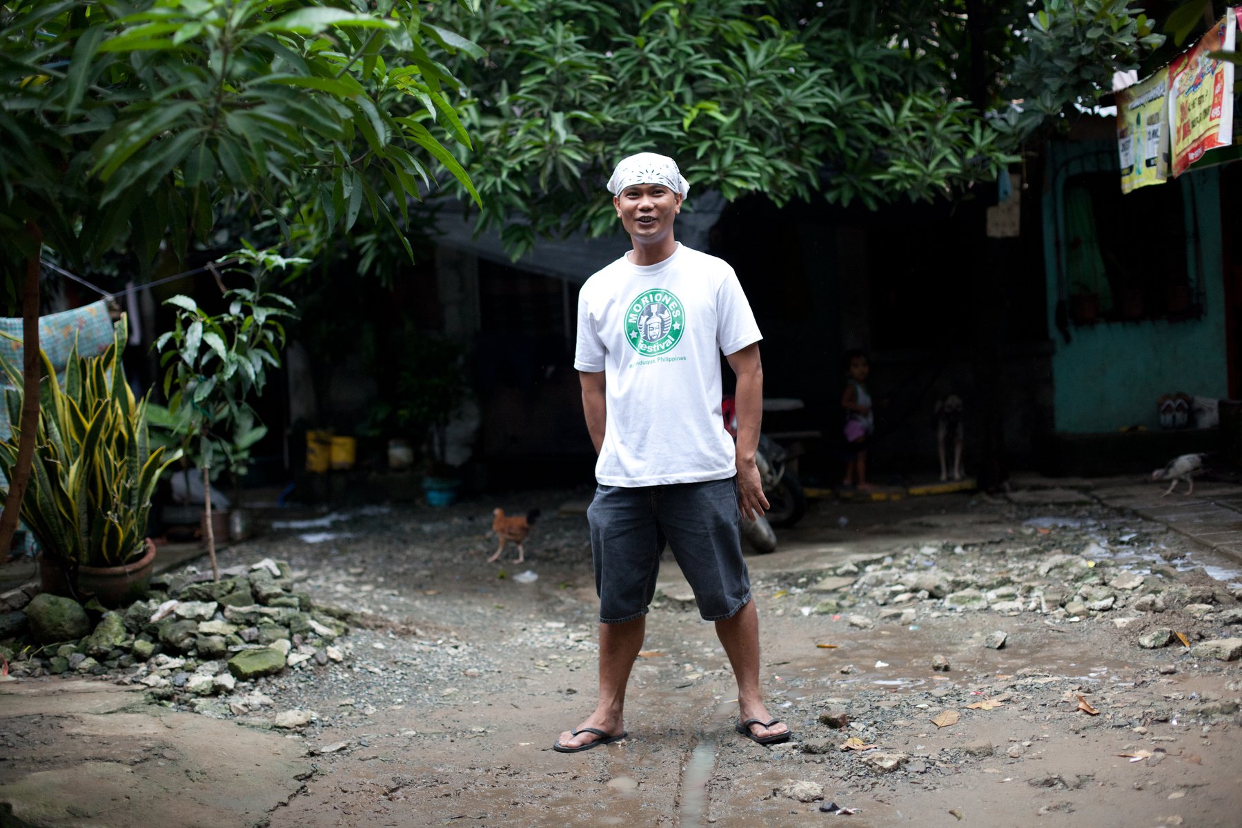
Sub-Urban. The residents of Sub-Urban, despite their own precarious situation - on a fault line and in an area prone to flooding - are part of a telecommunications network which helps warn downstream neighbours like the residents of Banaba when the river is rising. Their volunteer work is fuelled by a spirituality and stewardship of the earth.
×
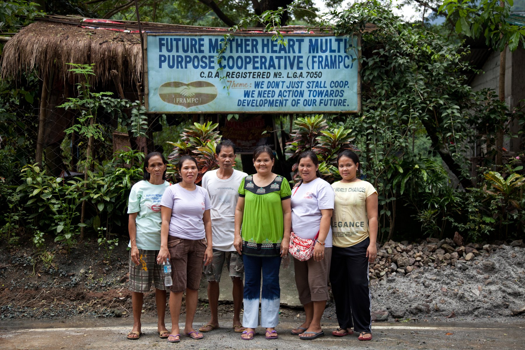
Wawa, Montalban. Residents of Wawa in the Sierra Madre Mountains are the first to notice when the river starts to rise. These women, moved by the devastating effects of Typhoon Ketsana in 2009, pledged to monitor their stretch of the river and help warn vulnerable communities downstream (via radio and text message) when flooding is due.
×
Laguna de Bay. Residents are actively lobbying the Filipino government to prevent the development of commercial activities that will significantly affect the lake's health, fish stock and flooding capacity - including malls, factories, dikes and a ferry station.
×
Novaliches. Residents of communities like Novaliches are working with local government to negotiate the right to be relocated to a safer in-city environment. “We have realised that by encouraging and helping the government become better at governing, we can help uplift the lives of many people.” - Jose Clemente, Executive Director of Christian Aid partner, Socio Pastoral Institute (SPI)
×
The Marikina River. Since Typhoon Ketsana in 2009, which killed more than 400 people, Christian Aid has been working with communities and NGOs on the Marikina River to share expertise around disaster risk reduction, climate change, livelihoods, land rights and advocacy - so these communities are now much better placed to respond to the problems they regularly face.
×
Banaba. Christian Aid partners in Banaba continue to work with academics and scientists, and hope to be part of a future telecommunications project introducing text blasting in times of calamity, so vulnerable communities get instant access to the localised weather data they need.
Click a point to learn more

People living in and around the Marikina River are linked together in all sorts of ways - by geography, water, economic activities and disaster. For this reason it is vital that charity and government responses consider the needs of the entire ecosystem. What is good for one community must be good for all.

Epilogue

Jose Ramon T. Villarin (“Father Jett”), President of the Manila Observatory and former member of the 2007 Nobel Prize-winning Intergovernmental Panel on Climate Change, talks about global climatic changes and urban development in Metro Manila.
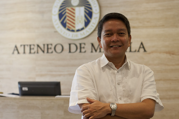
Father Jett Villarin
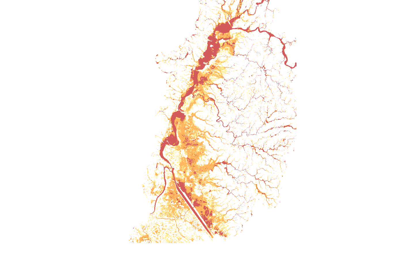
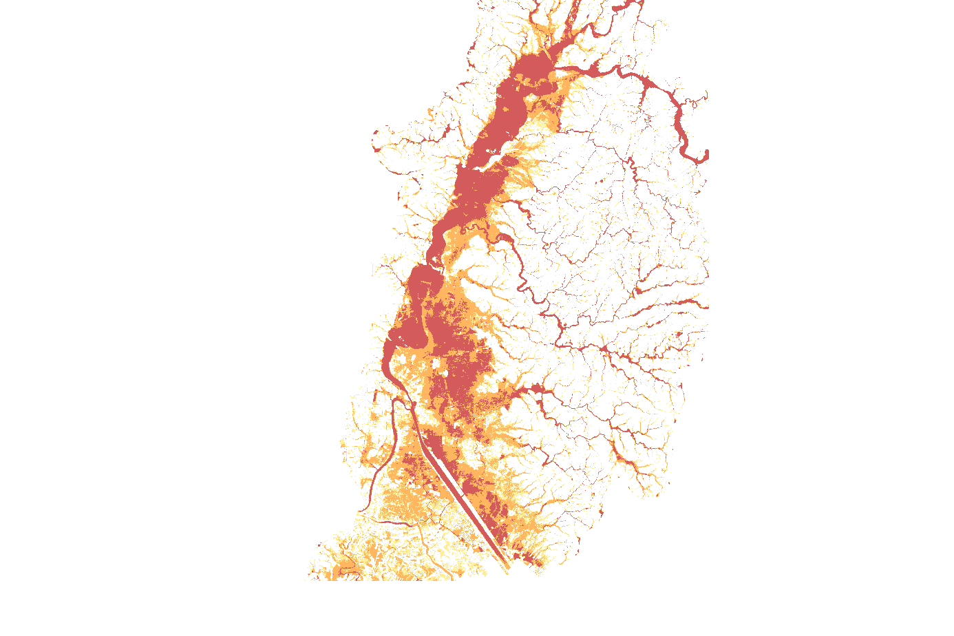
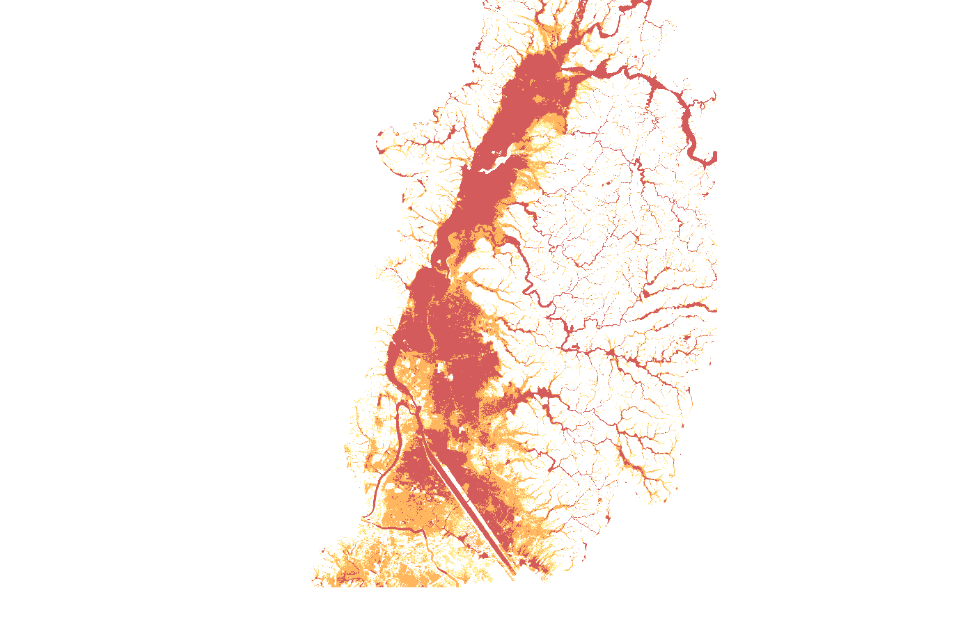
Satellite map of the Marikina River valley
The animation maps flood hazard across the Marikina River valley, the areas at risk of flooding in 5, 25 and 100 year storm events, colour graded from moderate (yellow) to severe (red).

Metro Manila will continue to grow as migration from the countryside persists. The UN predicts that by 2050, the Philippines' urban population will have increased by as much as 20 million people.

Flood hazard modelling: Phil-LiDAR program (LiPAD), University of the Philippines / Department of Science and Technology.