Lanzarote
About two leagues inland, and to the ſouthward from the top of the narrow path-way of the cliff at El Rio, ſtands the town of Haria, the next in ſize to Cayas. I imagine it may contain about three hundred inhabitants. All the buildings here, except the church and three or four private houſes, are very mean and poor. When I was there, it was the reſidence of the Governor, but the Alcalde Major and the officers of the Inquiſition lived at Rubicon.
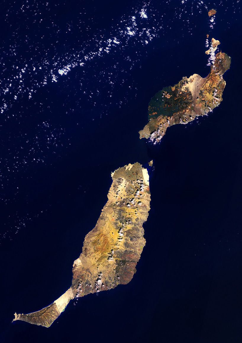
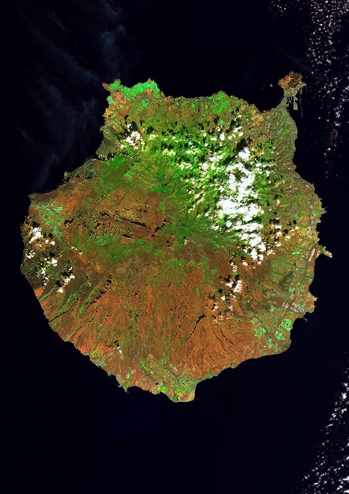
The Canary archipelago formed progressively and from a long-lived magma source over some 60 million years (Ma). Movement of the African plate successively shifted the plate over a stationary mantle plume, which separated the islands; eventually, an island will becomes disconnected from the mantle source and a new island begins to form. This is a matter of repetitive and similar volcanic processes, and the archipelago is indeed the result of a reiteration of the same type of island-forming processes with only some local variations. The noteworthy differences in altitude and scenery between the islands are a consequence of the state of development of each island, that is, of the present stage of island evolution.
…the different growth stages of a human that are seen represented in a community. Transferred to the Canaries, this relates to the mature old islands in the East and childlike ones in the West.
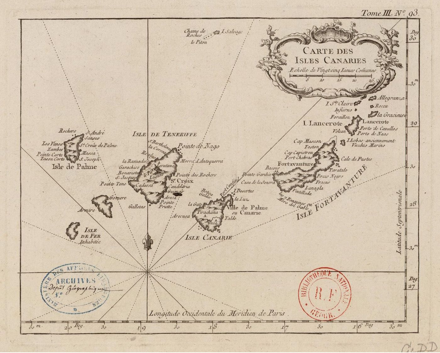
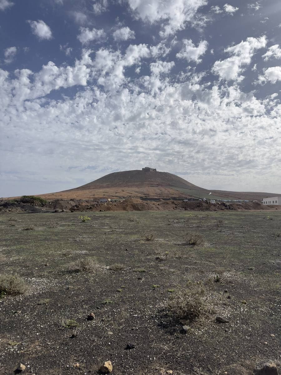
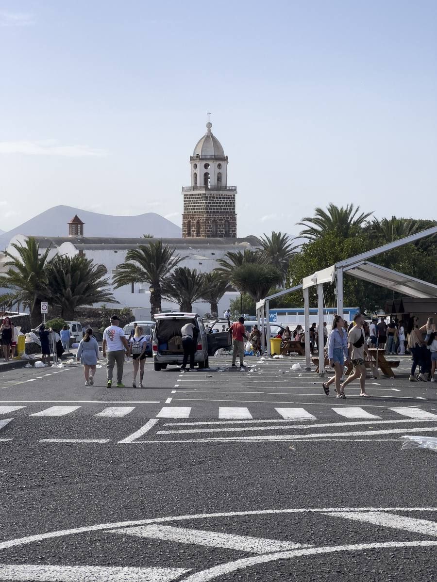
Maciot de Betancour married Teguiſe, daughter of Guadarfia, the laſt king of the iſland. He built a church at Teguiſe, dedicated to our Lady of Guadalupe, and gave the town the name of his wife. Teguiſe became the principal town of Lancerota, and the biſhops of the Canary Iſlands were ſtiled biſhops of Rubicon until the iſland of Gran Canaria was conquered.
After coafting the African ſhore, they failed weftward, and fell in with the iſland now called Lancerota, where they landed. The natives came in crowds to the port to behold them: but the Spaniards ſhooting ſome arrows among them, killed ſome, wounded others, and ſo frightened the reſt that they ran away; upon which the Spaniards marched to the town where the natives reſided, which they facked, and carried off a large booty of goat-ſkins, tallow, and ſheep, and one hundred and feventy of the inhabitants, among whom were Guanarame, King of the iſland, and Tinguafaya, his wife: with theſe they returned on board their ſhips, and failed back to Spain; where, in thoſe days, their plunder was reckoned to be very valuable.
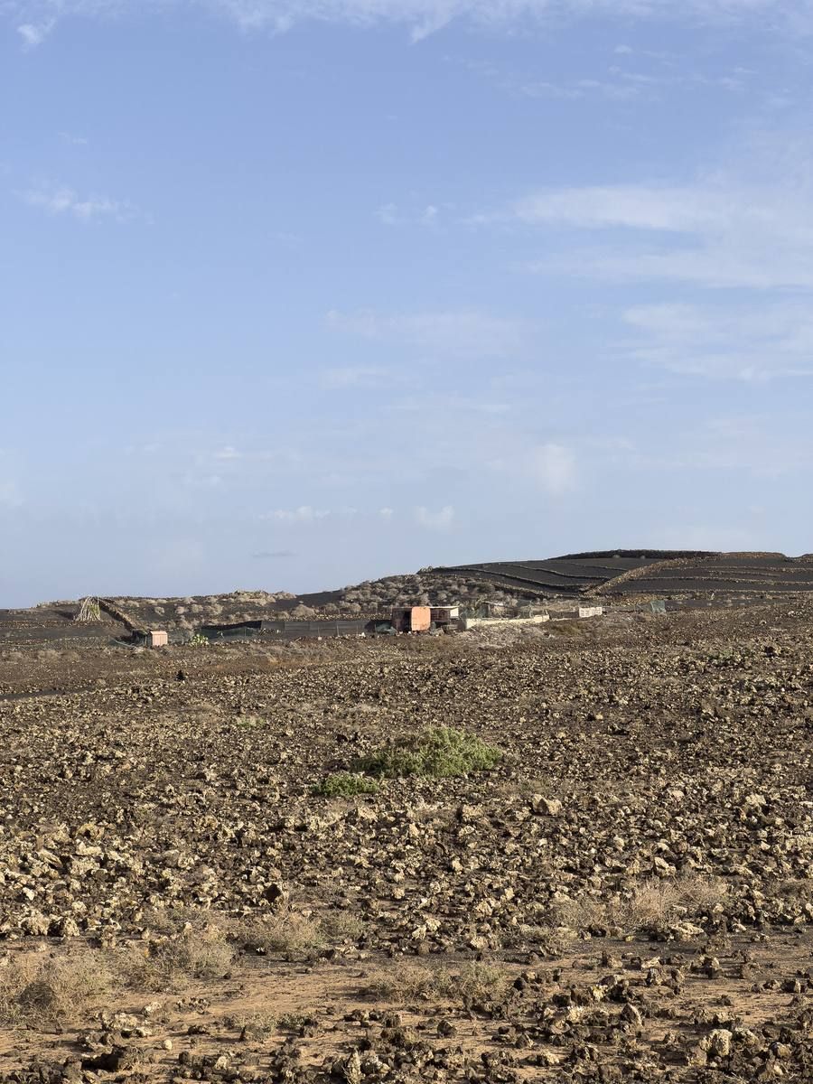
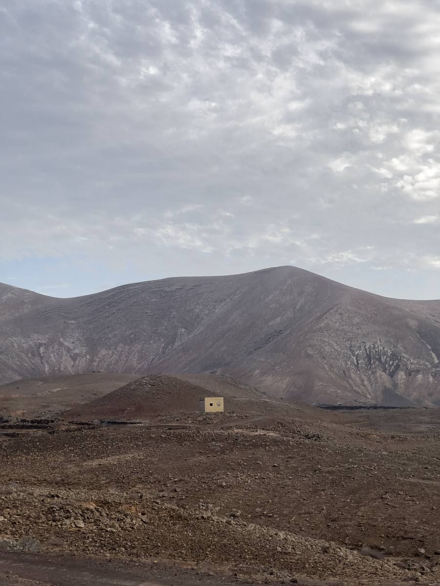
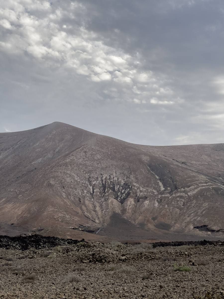
On the first day of September, 1730, between nine and ten o'clock at night, the earth suddenly opened near Timanfaya, two miles from Yaiza. An enormous mountain emerged from the ground, with flames coming from its summit. It continued burning for nineteen days.
A few days afterwards, a new eruption took place and the lava that poured from it ran with great speed towards the north, reaching the sea at Mazo and destroying the village of that name. The lava was so furious, that it covered all the land and reached the sea again, devastating many farms and several hamlets.
The eruption continued with the same violence, and fresh volcanoes opened, pouring out lava in all directions. The inhabitants fled in terror, but all their efforts to save their property were in vain.
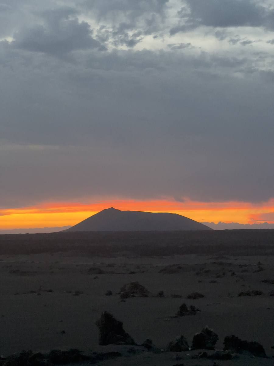
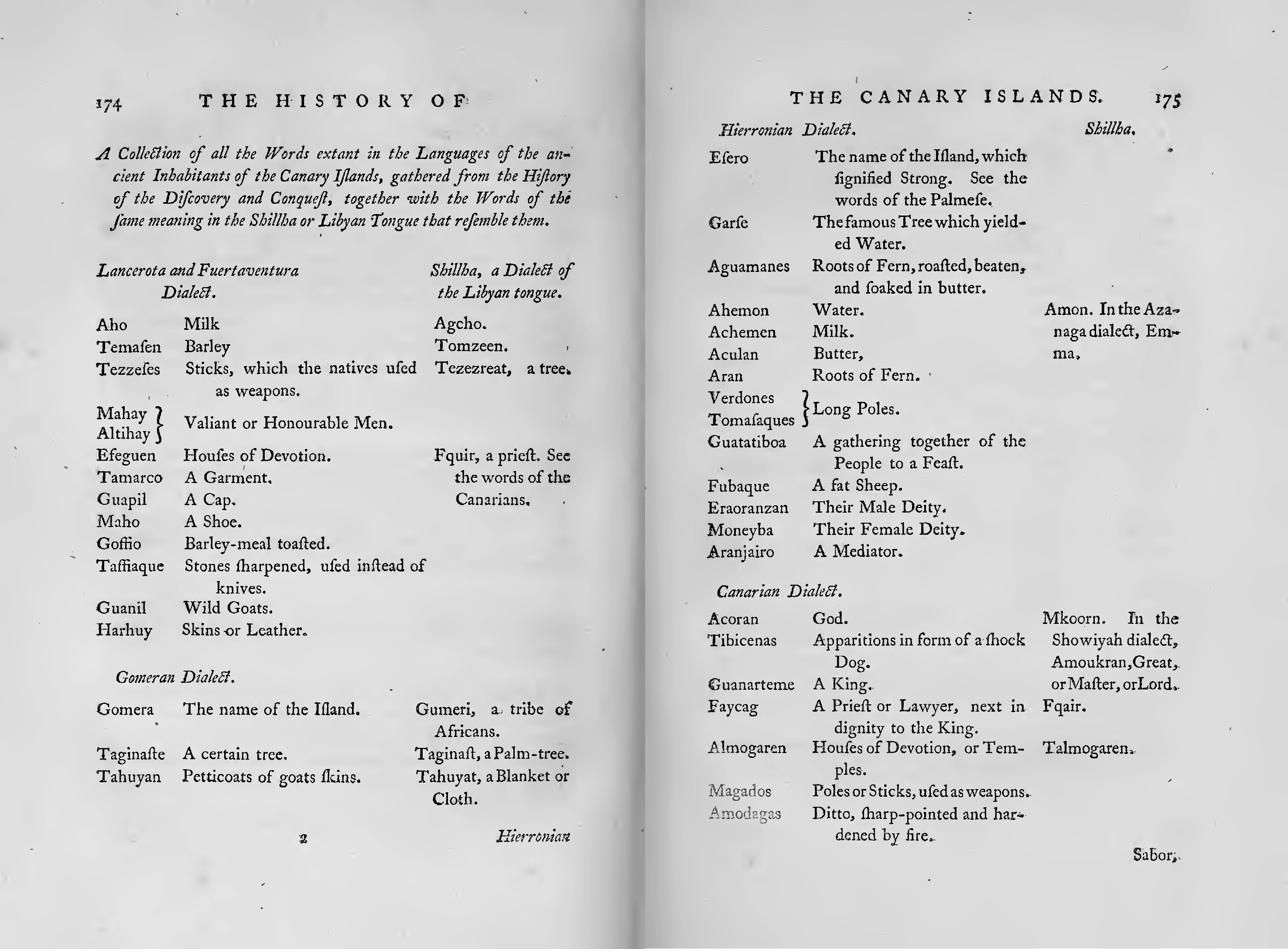
The natives of theſe two iſlands were of a larger ſize, and better made than thoſe of the others, and ſo they are to this day. There is a ſepulchre at the foot of a mountain in Lancerota, called the Mountain of Thorns, nineteen Engliſh feet and ten inches in length, where a perſon named Mahan was buried.
Duels and combats were frequent among them; to theſe they went armed with ſticks of a yard and a half long, which they called Tezzezes.
Their houſes were built of ſtone, without cement, lime, or mortar; notwithſtanding which they were ſtrong: the entry was made ſo narrow that but one perſon could go in at a time. They offered to their god milk and butter. They ſacrificed to him on the mountains, pouring out from earthen veſſels, offerings of goats-milk, and adoring him at the ſame time by lifting their hands toward the heavens.
The habit of the natives of Lancerota was made of goat ſkins, ſewed together and faſhioned like a cloak, with a hood to it. It reached down to the knees.
Fuerteventura
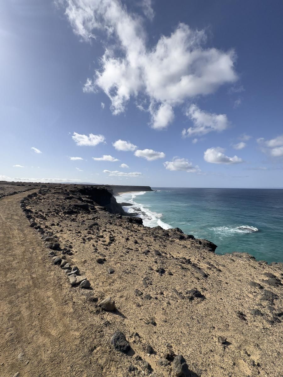
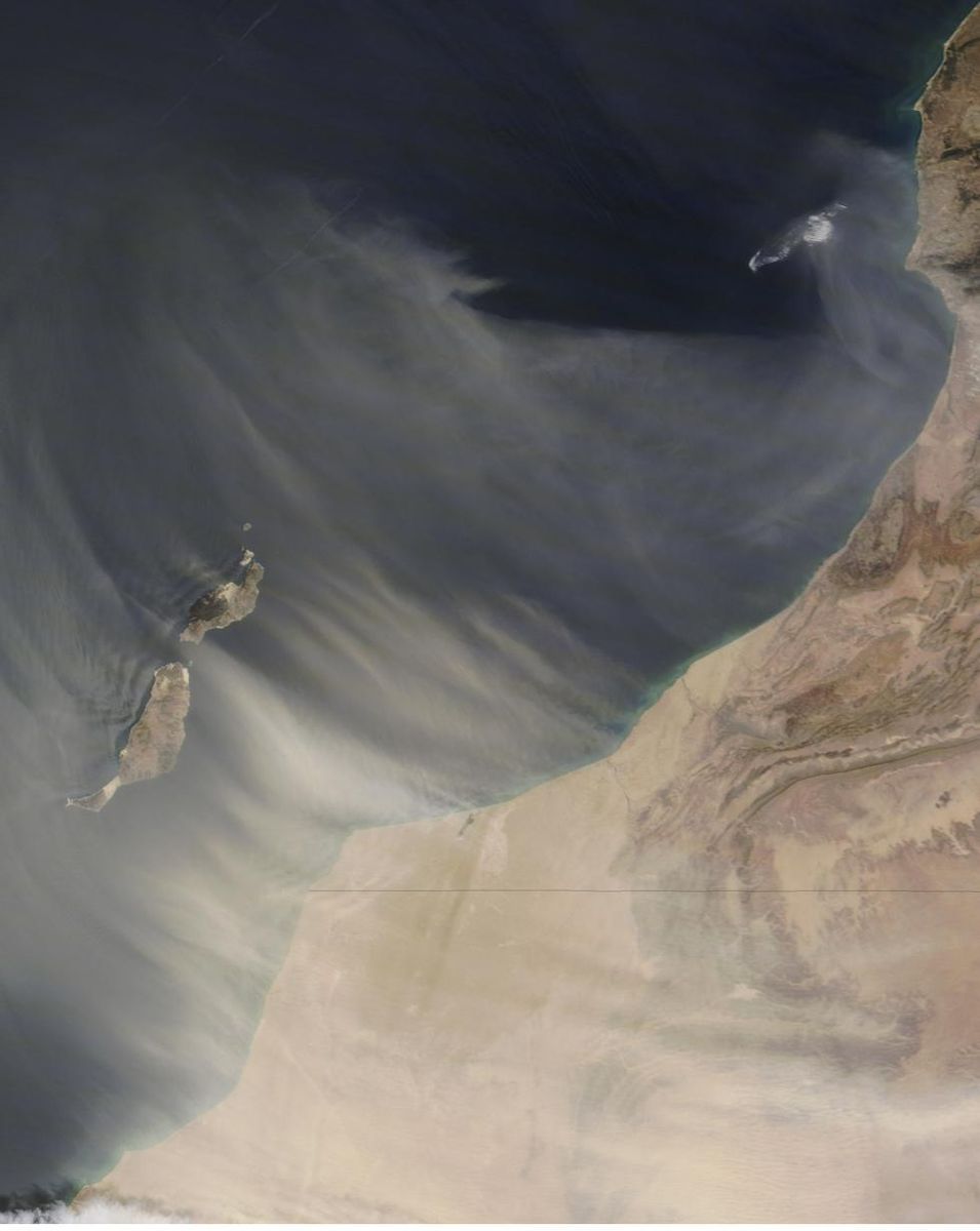
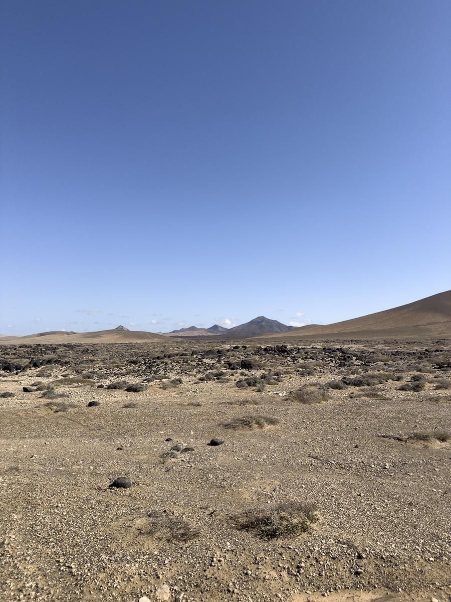
The low-altitude islands — Lanzarote and Fuerteventura — have an extremely arid climate, similar to that of the Sahara desert. Average yearly rainfall on Lanzarote is 126 mm and on Fuerteventura, 199 mm. Biogenic white sands also occur on beaches in the older Miocene islands, an aspect of likely limited geological consequence, but a crucial factor for the tourism-based economy of the archipelago.
The Caldera de Tefía, on Fuerteventura, is a classic example of a large silicic caldera (vertical collapse) that formed during the emission of a series of voluminous silica-rich ignimbrites, with each between 30 and 100 km³ in volume.
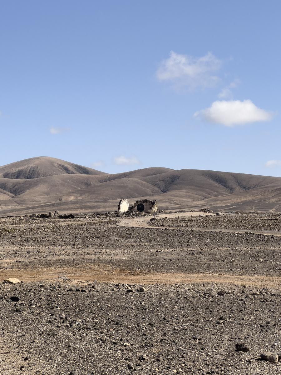
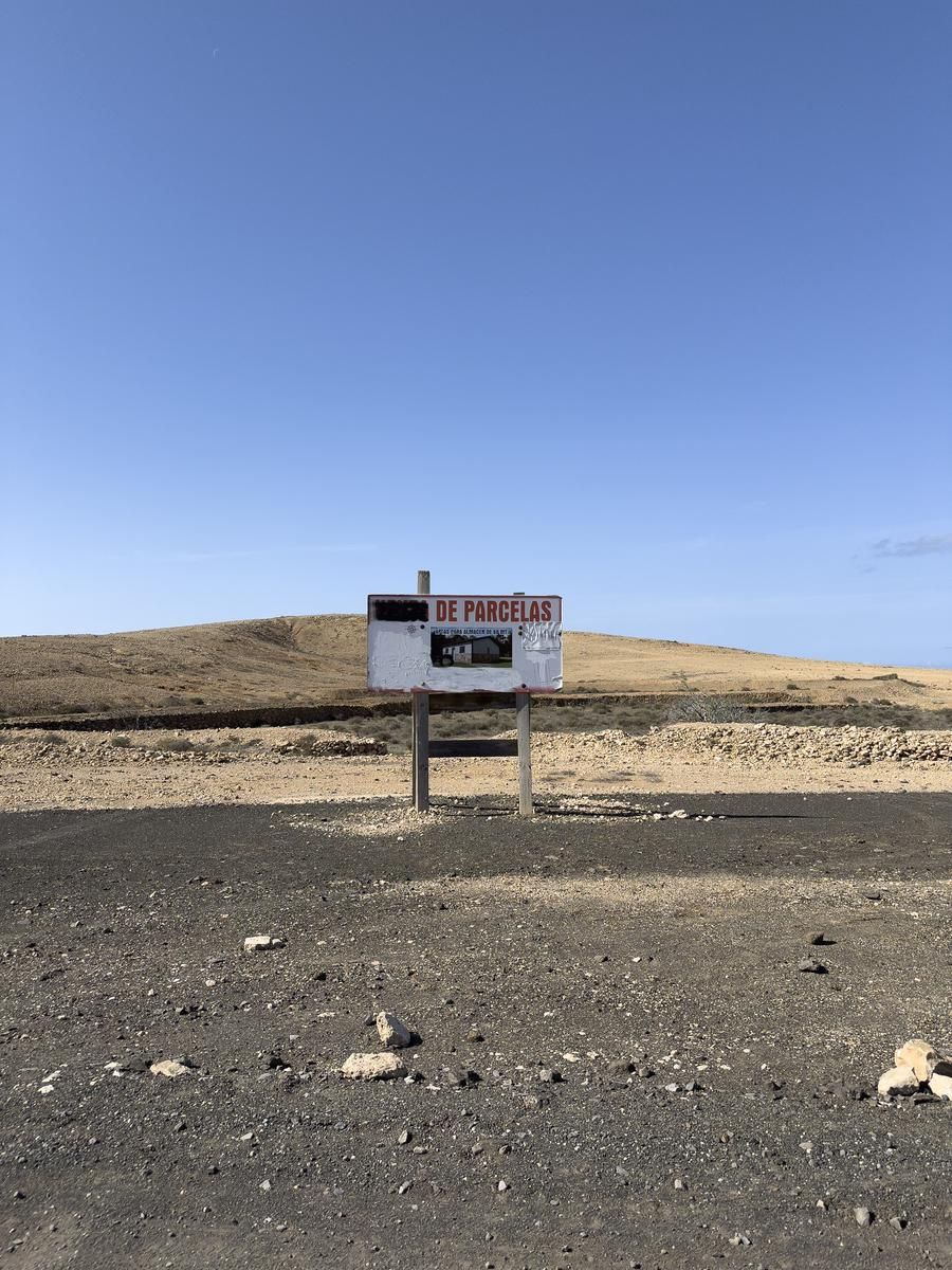
“The worst was the food — rotted sweet potatoes, rice with weevil, small bread for the whole day. I saw men come in at 87 kilos and leave at 45.”
“I have seen there the most appalling beatings on the poor prisoners … and the only reason to be arrested was to be a queer.”
“It transforms you; it takes away your mind.”
— Octavio García, prisoner, Colonia Agrícola Penitenciaria de Tefía, 1954–1956.
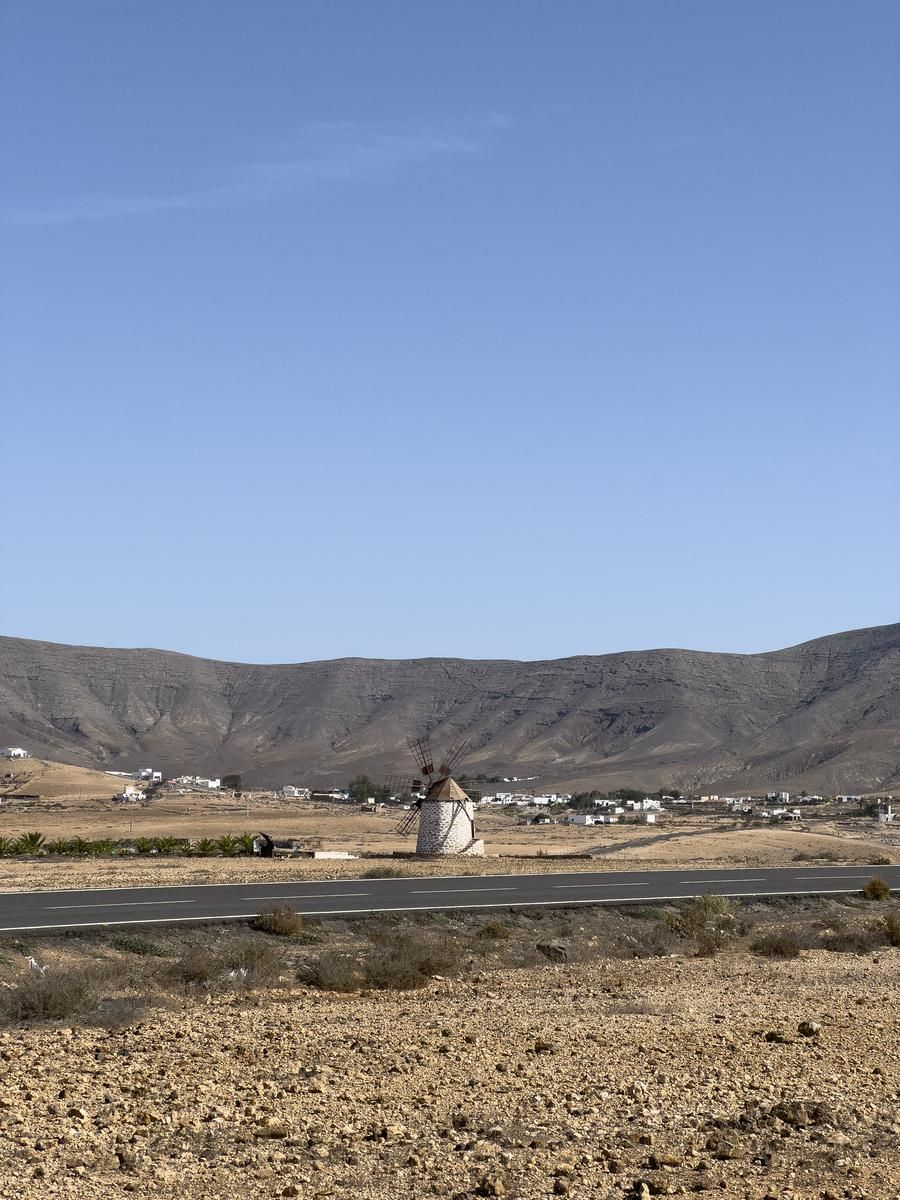
They threſhed their barley with ſticks, and winnowed it with their hands ; they then ground it in a hand-mill, made of two ſtones. The iſland of Fuertaventura was divided into two kingdoms, one commencing at the Villa and continuing unto Handia, and the other extending from the Villa unto Corralejo, which were ſeparated by a looſe dry ſtone wall, four leagues in length, croſſing the breadth of the iſland from ſea to ſea.
In the iſland of Fuertaventura, ſays my author, their lived two women who held a correſpondence with the devil, the one called Tibiatin, and the other Tamonante, who were mother and daughter : the buſineſs of the one was to ſettle and compoſe differences that might ariſe among the chiefs of the iſland, and that of the other to regulate their ceremonies. The natives pretend that theſe women uſed to foretel future events.
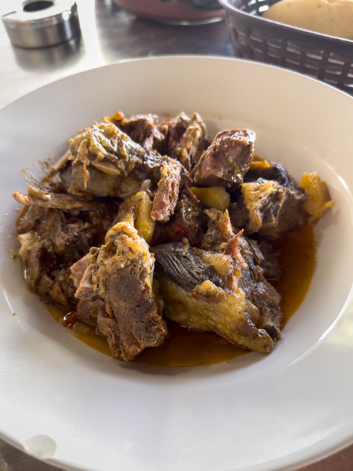
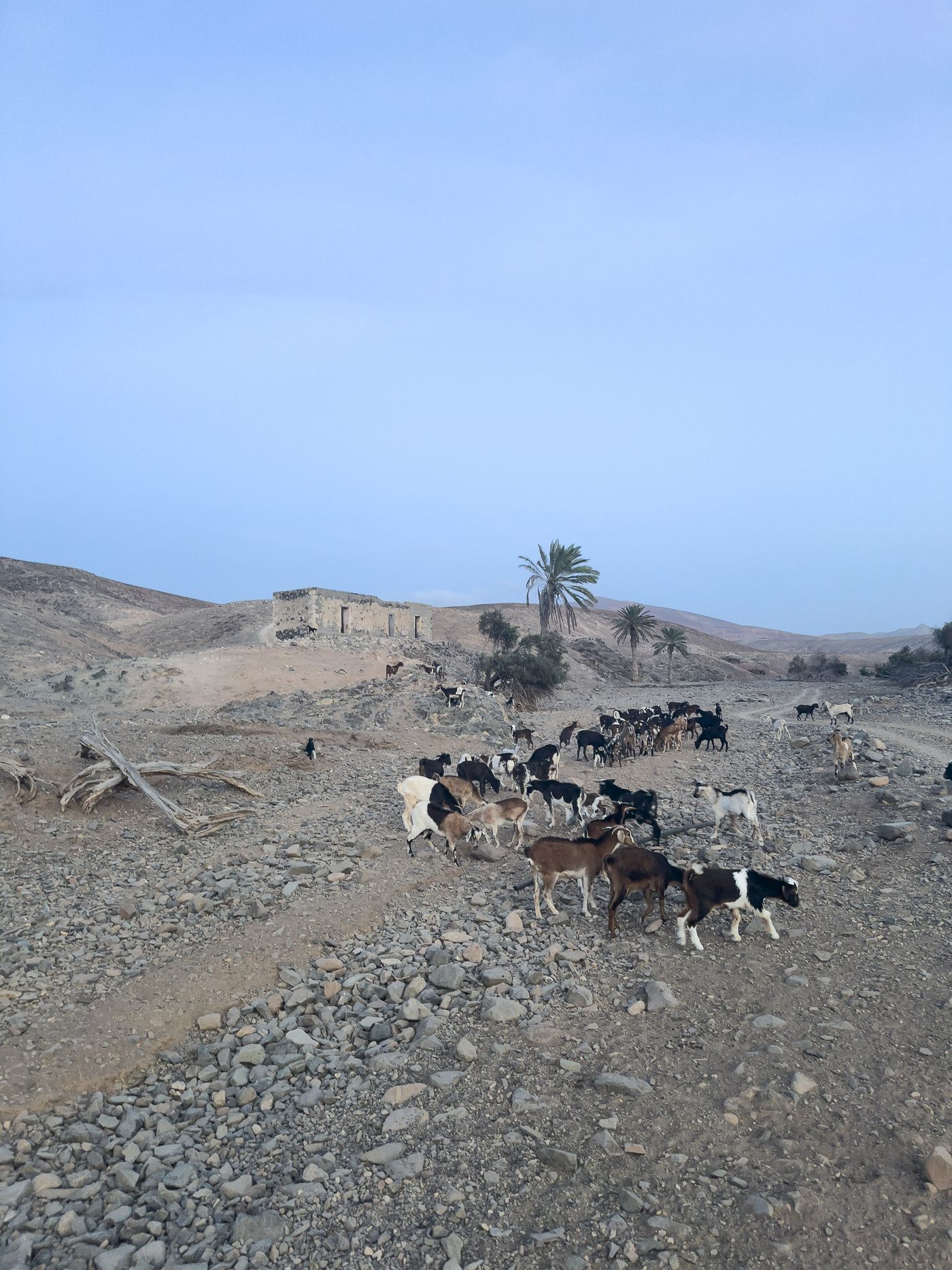
“The cattle of thofe iflands are camels, horfes, afies, bullocks, fheep, goats, and hogs, all of which, excepting the fheep and goats, were brought to them fince the conqueft, from Barbary and Spain.”
“In the fpring, their cattle are fat and good : they appear at that time quite plump, fleek, and gliften as if they were rubbed with oil ; but in the beginning of autumn, when the grafs is all withered or eaten up, they have a very different appearance, and are not fit for food.”
“It is a tradition among the inhabitants of Fuertaventura, that the natives believed Tibiatin and Taraonante to have been fent from heaven to inftruct them, to fortel future events, and to caufe them to live in peace and unanimity with each other. They fay that thefe women prophefied to them of the coming of ftrange people from the fea, who were to inftruct them how to live : and alfo that immediately after the arrival of the Europeans a beautiful woman often appeared to the natives in the time of their diftrefs and neceffities, miniftred comfort to them, perfuaded them to be baptized, and embrace the Romifh faith.
It was by the affiftance of thofe women that the Europeans made fo eafy a conqueft of that large and populous ifland.”
Gran Canaria

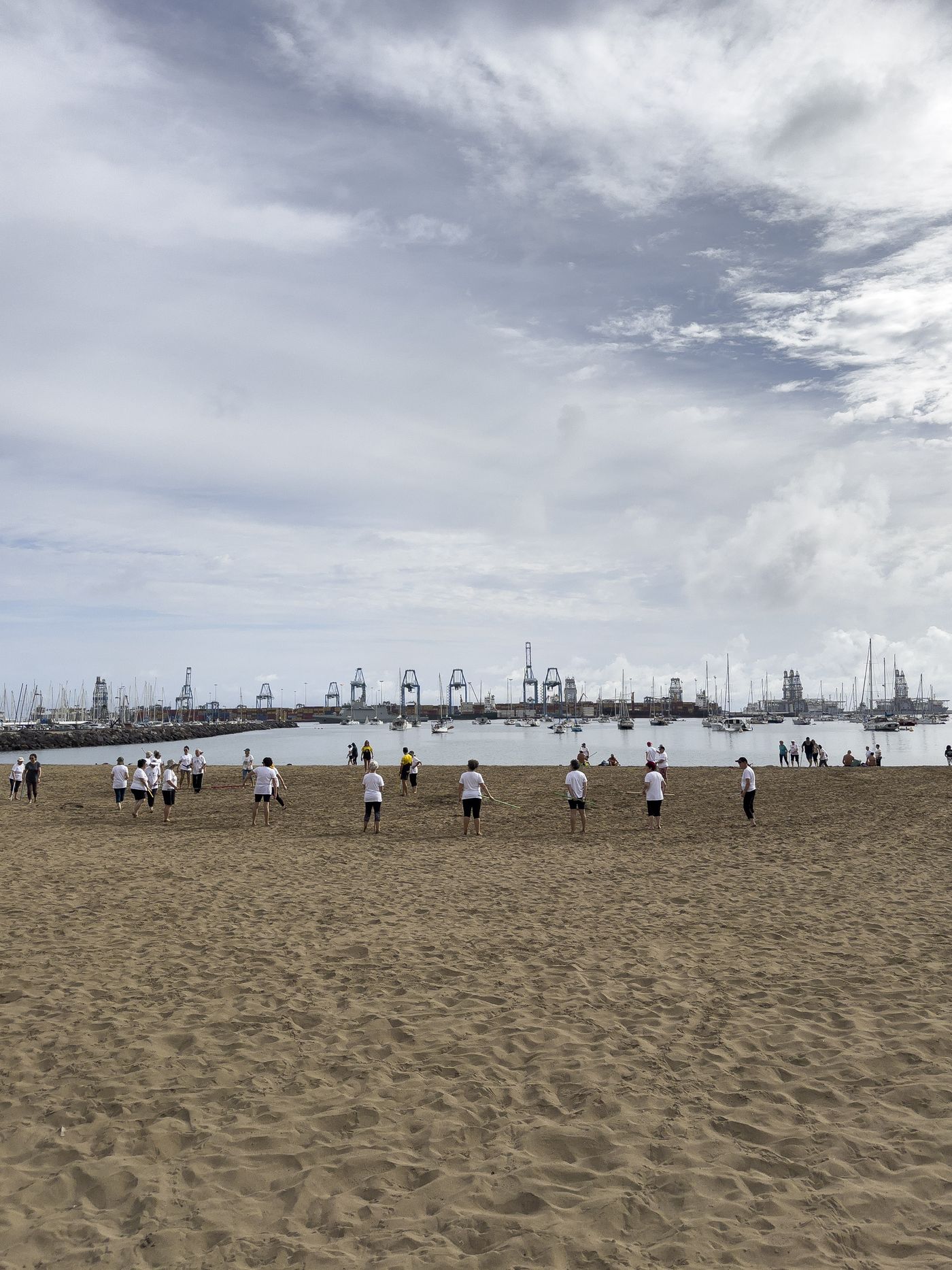
On the other fide of the iflhmus is a fpacious fandy bay, called by fome Porto de Luz, and by others Porto de Ifletes, from fome fteep rocks, or iflands, at the entrance of the bay towards the north-eafl. This is a good road for fhipping of any burthen, with all winds except the fouth-eafl, to which it is expofed ; but that wind (which is not common here) feldom blows fo hard as to endanger fhipping.
The landing-place is in the very bight or bottom of the bay, where the water is generally fo fmooth, that a boat may lie broadfide to the fhore, without danger. At this landing-place ftands a hermitage, or chapel, dedicated to St. Cætherine, and a caftle, mounted with a few guns, but of no ftrength. From thence along fhore to the eaftward, at the diftance of a league, is the city of Palmas, the capital of the ifland.
The Canarians, inftead of being difcouraged at the fall of their champion, were fired with frefh rage, falling on like incenfed tygers, infomuch that it might be faid the conflict only then began. But this ardor of the Canarians, like the laft blaft of a furious tempeft againft a mighty oak, which it fhakes to its very root, was not long before it fpent itfelf, and was fucceeded by a fenfible abatement of vigour ; and they foon after retired, but in good order, leaving behind them Adargoma prifoner, and three hundred men killed on the field of battle, befides many wounded ; of the Spaniards, only feven were killed and twenty-fix wounded.
This great inequality of lofs muft have been owing to the difference of weapons ufed in the engagement, for about that time the Spaniards had learned the ufe of fire-arms ; and moreover the Canarians were much terrified at the fight of the horfes, which on this occafion made their firft appearance in Gran Canaria. After this battle, which was called the battle of Guiniguada, the natives never attempted to engage the Spaniards again on level ground, but contented themfelves with harrafsing them in their marches up the country, efpecially in the mountainous part, in which the Spaniards by little and little had fhut them up ; for they were afraid to venture into the plain near the fea-fhore, on account of the enemy's cavalry.